La Bota del Soldado
La Bota del Soldado is a locality in Honrubia, Cuenca, Castile-La Mancha. La Bota del Soldado is situated nearby to the locality Cerca de Tía Rosa, as well as near Loma Larga.| Tap on a place to explore it |
Places in the Area
Nearby places include Cañada Juncosa and Atalaya del Cañavate.
Cañada Juncosa
Village

Photo: Malopez 21, CC BY-SA 4.0.
Cañada Juncosa is a municipality in Cuenca, Castile-La Mancha, Spain. It has a population of 346. Cañada Juncosa is situated 5 km southwest of La Bota del Soldado.
Atalaya del Cañavate
Village

Photo: Millars, CC BY-SA 3.0 es.
Atalaya del Cañavate is a municipality in Cuenca, Castile-La Mancha, Spain. It had a population of 98 as of 2020. Atalaya del Cañavate is situated 8 km southwest of La Bota del Soldado.
Olmedilla de Alarcón
Village
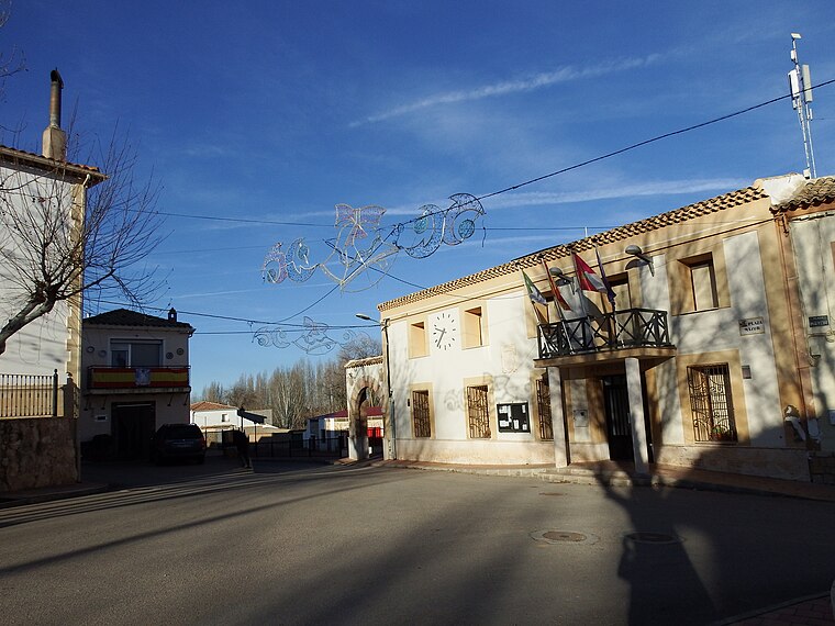
Photo: 19Tarrestnom65, CC BY-SA 4.0.
Olmedilla de Alarcón is a municipality in Cuenca, Castile-La Mancha, Spain. It has a population of 166. Olmedilla de Alarcón is situated 9 km northeast of La Bota del Soldado.
La Bota del Soldado
- Type: Locality
- Location: Honrubia, Cuenca, Castile-La Mancha, Central Spain, Spain, Iberia, Europe
- View on OpenStreetMap
Latitude
39.57748° or 39° 34′ 39″ northLongitude
-2.20098° or 2° 12′ 4″ westOpen location code
8CFVHQGX+XJOpenStreetMap ID
node 1244137252OpenStreetMap feature
place=locality
This page is based on OpenStreetMap, Wikidata, and Wikimedia Commons.
We’d love your help improving our open data sources. Thank you for contributing.
Satellite Map
Discover La Bota del Soldado from above in high-definition satellite imagery.
Localities in the Area
Explore places such as Cerca de Tía Rosa and Loma Larga.
Notable Places Nearby
Highlights include Cerrillo de los Conejos and Fuente del Pino Lorito.
Castile-La Mancha: Must-Visit Destinations
Delve into Toledo, Albacete, Cuenca, and Ciudad Real.
Curious Localities to Discover
Uncover intriguing localities from every corner of the globe.
About Mapcarta. Data © OpenStreetMap contributors and available under the Open Database License". Text is available under the CC BY-SA 4.0 license, except for photos, directions, and the map. Photo: flashcurd, CC BY 2.0.