Llanos de Campillo
Llanos de Campillo is a locality in Albaladejo del Cuende, Cuenca, Castile-La Mancha. Llanos de Campillo is situated nearby to the locality Los Fustales, as well as near La Hocecilla.| Tap on a place to explore it |
Places in the Area
Nearby places include Belmontejo and Mota de Altarejos.
Belmontejo
Village
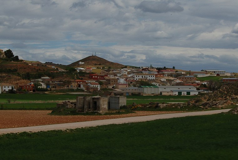
Photo: Estevoaei, CC BY-SA 4.0.
Belmontejo is a municipality in Cuenca, Castile-La Mancha, Spain. It had a population of 250 as at 2014/15. Belmontejo is situated 6 km west of Llanos de Campillo.
Mota de Altarejos
Village

Photo: Pako moralo, CC BY-SA 4.0.
Mota de Altarejos is a municipality in Cuenca, Castile-La Mancha, Spain. It has a population of 56. Mota de Altarejos is situated 6 km northwest of Llanos de Campillo.
Villaverde y Pasaconsol
Village

Photo: Estevoaei, CC BY-SA 4.0.
Villaverde y Pasaconsol is a municipality located in the province of Cuenca, Castile-La Mancha, Spain. According to the 2004 census, the municipality has a population of 413 inhabitants. Villaverde y Pasaconsol is situated 7 km south of Llanos de Campillo.
Llanos de Campillo
- Type: Locality
- Location: Albaladejo del Cuende, Cuenca, Castile-La Mancha, Central Spain, Spain, Iberia, Europe
- View on OpenStreetMap
Latitude
39.83149° or 39° 49′ 53″ northLongitude
-2.2728° or 2° 16′ 22″ westOpen location code
8CFVRPJG+HVOpenStreetMap ID
node 1244142401OpenStreetMap feature
place=locality
This page is based on OpenStreetMap, Wikidata, and Wikimedia Commons.
We’d love your help improving our open data sources. Thank you for contributing.
Satellite Map
Discover Llanos de Campillo from above in high-definition satellite imagery.
Localities in the Area
Explore places such as Los Fustales and La Hocecilla.
Notable Places Nearby
Highlights include Embalse de Alarcón and depósito de agua.
Castile-La Mancha: Must-Visit Destinations
Delve into Toledo, Albacete, Cuenca, and Ciudad Real.
Curious Localities to Discover
Uncover intriguing localities from every corner of the globe.
About Mapcarta. Data © OpenStreetMap contributors and available under the Open Database License". Text is available under the CC BY-SA 4.0 license, except for photos, directions, and the map. Photo: flashcurd, CC BY 2.0.