Cerrillos del Collado
Cerrillos del Collado is a locality in Cervera del Llano, Cuenca, Castile-La Mancha. Cerrillos del Collado is situated nearby to the locality Molino de Viento, as well as near Las Avefrías.| Tap on a place to explore it |
Places in the Area
Nearby places include La Hinojosa and Olivares de Júcar.
La Hinojosa
Village

Photo: Malopez 21, CC BY-SA 4.0.
La Hinojosa is a municipality in Cuenca, Castile-La Mancha, Spain. It has a population of 318. La Hinojosa is situated 5 km south of Cerrillos del Collado.
Olivares de Júcar
Village

Photo: Cillas, CC BY-SA 4.0.
Olivares de Júcar is a municipality in Cuenca, Castile-La Mancha, Spain. It has a population of 542. Olivares de Júcar is situated 5 km east of Cerrillos del Collado.
Belmontejo
Village
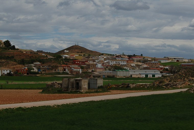
Photo: Estevoaei, CC BY-SA 4.0.
Belmontejo is a municipality in Cuenca, Castile-La Mancha, Spain. It had a population of 250 as at 2014/15. Belmontejo is situated 8 km northeast of Cerrillos del Collado.
Cerrillos del Collado
- Type: Locality
- Location: Cervera del Llano, Cuenca, Castile-La Mancha, Central Spain, Spain, Iberia, Europe
- View on OpenStreetMap
Latitude
39.77537° or 39° 46′ 31″ northLongitude
-2.41492° or 2° 24′ 54″ westOpen location code
8CFVQHGP+42OpenStreetMap ID
node 1244165518OpenStreetMap feature
place=locality
This page is based on OpenStreetMap, Wikidata, and Wikimedia Commons.
We’d love your help improving our open data sources. Thank you for contributing.
Satellite Map
Discover Cerrillos del Collado from above in high-definition satellite imagery.
Localities in the Area
Explore places such as Molino de Viento and Las Avefrías.
Notable Places Nearby
Highlights include Plaza Mayor and frontón.
Castile-La Mancha: Must-Visit Destinations
Delve into Toledo, Albacete, Cuenca, and Ciudad Real.
Curious Localities to Discover
Uncover intriguing localities from every corner of the globe.
About Mapcarta. Data © OpenStreetMap contributors and available under the Open Database License". Text is available under the CC BY-SA 4.0 license, except for photos, directions, and the map. Photo: flashcurd, CC BY 2.0.