Real Bedford FC
Real Bedford FC is a community center in Cardington, Bedford, England. Real Bedford FC is situated nearby to the pitch Bedford Town FC - The Eyrie, as well as near Real Bedford Pitch.| Tap on a place to explore it |
Places of Interest Nearby
Highlights include Priory Country Park and Parish Church of St Mary the Virgin, Cardington.
Priory Country Park
Park

Photo: Robin Drayton, CC BY-SA 2.0.
Priory Country Park is a country park located in the Newnham area of Bedford, England alongside the River Great Ouse. The park is managed by Bedford Borough Council. Priory Country Park is situated 4,200 feet northwest of Real Bedford FC.
Parish Church of St Mary the Virgin, Cardington
Church

Photo: Ian Capper, CC BY-SA 2.0.
Parish Church of St Mary the Virgin, Cardington is situated 3,400 feet south of Real Bedford FC.
Cople Pits
Nature reserve

Photo: Dudley Miles, CC BY-SA 4.0.
Cople Pits is a 2-hectare nature reserve in Cople in Bedfordshire. It is managed by the Wildlife Trust for Bedfordshire, Cambridgeshire and Northamptonshire.
Places in the Area
Nearby places include Cardington and Cople.
Cardington
Village
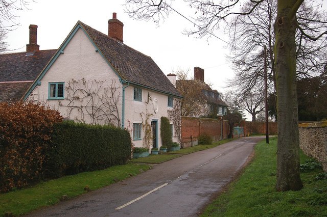
Photo: Ian Capper, CC BY-SA 2.0.
Cardington is a village and civil parish in the Borough of Bedford in Bedfordshire, England. Part of the ancient hundred of Wixamtree, the settlement is best known in connection with the Cardington airship works founded by Short Brothers during World War I, which later became an RAF training station.
Cople
Village
Photo: Oliver White, CC BY-SA 2.0.
Cople is a village and civil parish in the English county of Bedfordshire. The name Cople is derived from the phrase Cock Pool, a place where chickens were kept, that was mentioned in the Domesday Book.
Harrowden
Hamlet

Photo: Mr Biz, CC BY-SA 2.0.
Harrowden is a one-street hamlet in the civil parish of Shortstown, Bedfordshire, England. The street runs from east to west parallel and to the south of the A421 Bedford Southern Bypass, and 200 metres to the north of the village of Shortstown.
Real Bedford FC
- Type: Community center
- Location: Cardington, Bedford, England, United Kingdom, Britain and Ireland, Europe
- View on OpenStreetMap
Latitude
52.12814° or 52° 7′ 41″ northLongitude
-0.41375° or 0° 24′ 50″ westOpen location code
9C4X4HHP+7GOpenStreetMap ID
node 12445696841OpenStreetMap feature
amenity=community_centre
This page is based on OpenStreetMap, Wikidata, and Wikimedia Commons.
We’d love your help improving our open data sources. Thank you for contributing.
Satellite Map
Discover Real Bedford FC from above in high-definition satellite imagery.
Notable Places Nearby
Highlights include Real Bedford FC and Bedford Town FC - The Eyrie.
Nearby Places
Explore places such as Meadow Lane and Boxclever.
England: Must-Visit Destinations
Delve into London, Manchester, Sheffield, and Leeds.
Curious Community Centers to Discover
Uncover intriguing community centers from every corner of the globe.
About Mapcarta. Data © OpenStreetMap contributors and available under the Open Database License". Text is available under the CC BY-SA 4.0 license, except for photos, directions, and the map. Photo: AlasdairW, CC BY-SA 3.0.