The Party Shack
The Party Shack is a party shop in Brandon and Byshottles, County Durham, England which is located on Station Road. The Party Shack is situated nearby to the village Ushaw Moor, as well as near St Joseph’s R.C. Church.| Tap on a place to explore it |
- Type: Party shop
- Also known as: “Flowers by Fleurella”
- Address: Station Road, DH7 7PX
Places of Interest Nearby
Highlights include Durham Academy and Beaurepaire Manor House.
Durham Academy
School
Durham Academy is a coeducational secondary school located in Ushaw Moor, County Durham, England. The school educates pupils from Ushaw Moor and surrounding villages, including Sacriston, Lanchester, Esh Winning, Witton Gilbert, Langley Park and other areas North of Durham. Durham Academy is situated 2,400 feet northeast of The Party Shack.
Beaurepaire Manor House
Ruins

Photo: Ataffo, CC BY-SA 4.0.
Beaurepaire Manor House is a ruins, which is situated 1¼ miles northeast of The Party Shack.
Durham Miners’ Hall
Community center
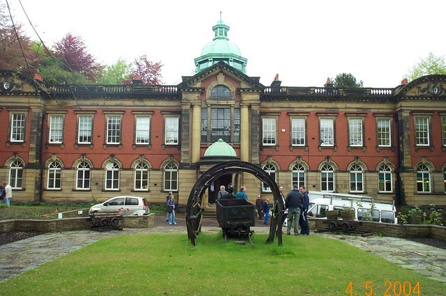
Photo: derek dye, CC BY-SA 2.0.
Redhills is Grade II listed headquarters building of the Durham Miners' Association in Durham, England. Officially called Miners' New Hall, it is known as Redhills from its location on Redhills Lane in the City of Durham. Durham Miners’ Hall is situated 2½ miles east of The Party Shack.
Places in the Area
Nearby places include Ushaw Moor and New Brancepeth.
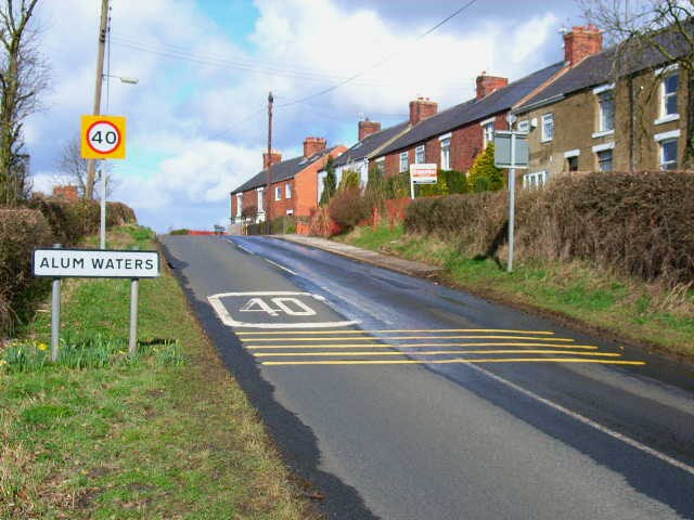
Ushaw Moor
Village

Photo: JThomas, CC BY-SA 2.0.
Ushaw Moor is an old pit village in County Durham, in England, on the north side of the River Deerness. It is situated to the west of Durham, a short distance to the south of Bearpark.
New Brancepeth
Village

Photo: Oliver Dixon, CC BY-SA 2.0.
New Brancepeth is a village in County Durham, in England. It is about 3 miles west of the centre of Durham, above the River Deerness. Its population is around 100–200.
The Party Shack
- Category: shop
- Location: Brandon and Byshottles, County Durham, North East England, England, United Kingdom, Britain and Ireland, Europe
- View on OpenStreetMap
Latitude
54.7777° or 54° 46′ 40″ northLongitude
-1.64571° or 1° 38′ 45″ westOpen location code
9C6WQ9H3+3POpenStreetMap ID
node 12455681524OpenStreetMap feature
shop=party
This page is based on OpenStreetMap, Wikidata, and Wikimedia Commons.
We’d love your help improving our open data sources. Thank you for contributing.
Satellite Map
Discover The Party Shack from above in high-definition satellite imagery.
Notable Places Nearby
Highlights include Ushaw Moor Community Garden and Ushaw Moor Baptist Curch.
Nearby Places
Explore places such as The Prophecy and Istanbul.
County Durham: Must-Visit Destinations
Delve into Durham, Darlington, Hartlepool, and Stockton-on-Tees.
Curious Party Shops to Discover
Uncover intriguing party shops from every corner of the globe.
About Mapcarta. Data © OpenStreetMap contributors and available under the Open Database License". Text is available under the CC BY-SA 4.0 license, except for photos, directions, and the map. Photo: Roberto Strauss, CC BY 2.0.