L’Épinay Des Rivières
L’Épinay Des Rivières is a hamlet in Bressuire, Deux-Sèvres, Nouvelle-Aquitaine. L’Épinay Des Rivières is situated nearby to the locality Moque-Souris, as well as near the hamlet Beausoleil.| Tap on a place to explore it |
Places of Interest
Highlights include Château de Bressuire and Église Notre-Dame de Bressuire.
Château de Bressuire
Park

Photo: Hal Eksandr, CC BY-SA 3.0.
The Château de Bressuire is a ruined castle in the town of Bressuire in the Deux-Sèvres département of France. The site has been inhabited continuously since the Celtic epoch.
Église Notre-Dame de Bressuire
Church

Photo: GO69, CC BY-SA 4.0.
Église Notre-Dame de Bressuire is a church.
Salle des Congrès de l’Hôtel de Ville de Bressuire
Post office
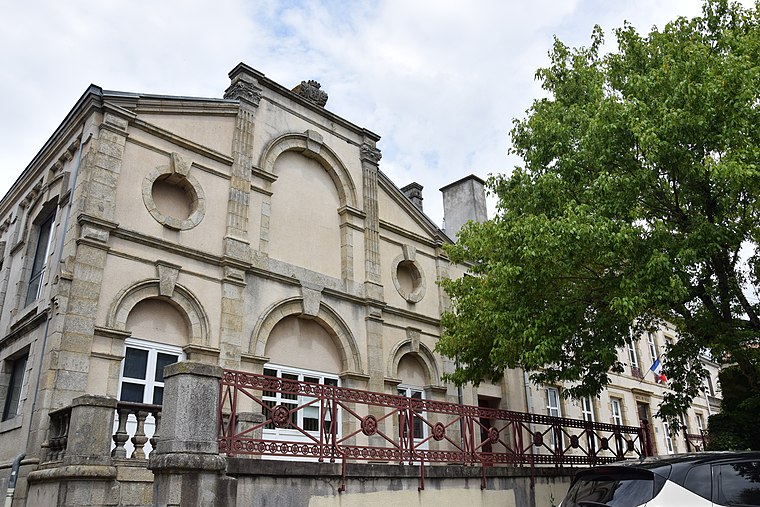
Photo: Chatsam, CC BY-SA 3.0.
Salle des Congrès de l’Hôtel de Ville de Bressuire is a post office.
Places in the Area
Nearby places include Bressuire and Voultegon.
Bressuire
Town

Photo: Twingoman, Public domain.
Bressuire is a commune in the French department of Deux-Sèvres, region of Nouvelle-Aquitaine. The town is situated on an eminence overlooking the Dolo, a tributary of the Argenton.
Voultegon
Village

Photo: Audrey79, CC BY-SA 3.0.
Voultegon is a former commune in the Deux-Sèvres department in Poitou-Charentes region in western France. On 1 January 2013, Voultegon and Saint-Clémentin merged becoming one commune called Voulmentin. Voultegon is situated 9 km north of L’Épinay Des Rivières.
Saint-Clémentin
Village

Photo: FredSeiller, CC BY-SA 4.0.
Saint-Clémentin is a former commune in the Deux-Sèvres department in Poitou-Charentes region in western France. On 1 January 2013, Saint-Clémentin and Voultegon merged becoming one commune called Voulmentin. Saint-Clémentin is situated 10 km north of L’Épinay Des Rivières.
L’Épinay Des Rivières
- Type: Hamlet
- Category: locality
- Location: Bressuire, Arrondissement of Bressuire, Deux-Sèvres, Nouvelle-Aquitaine, France, Europe
- View on OpenStreetMap
Latitude
46.85717° or 46° 51′ 26″ northLongitude
-0.4856° or 0° 29′ 8″ westOpen location code
8CRXVG47+VQOpenStreetMap ID
node 12460772169OpenStreetMap feature
place=hamlet
This page is based on OpenStreetMap, Wikidata, and Wikimedia Commons.
We’d love your help improving our open data sources. Thank you for contributing.
Satellite Map
Discover L’Épinay Des Rivières from above in high-definition satellite imagery.
Localities in the Area
Explore places such as Moque-Souris and Beausoleil.
Notable Places Nearby
Highlights include Cimetière Paysager and Bassins d’Epurations.
Curious Hamlets to Discover
Uncover intriguing hamlets from every corner of the globe.
About Mapcarta. Data © OpenStreetMap contributors and available under the Open Database License". Text is available under the CC BY-SA 4.0 license, except for photos, directions, and the map. Photo: Père Igor, CC BY-SA 3.0.