ESCUELA LA CORDIALIDAD
ESCUELA LA CORDIALIDAD is a school in Los Patios, Norte de Santander Department. ESCUELA LA CORDIALIDAD is situated nearby to the pitch Gramillada Villabetania, as well as near the park Parque Villabetania.| Tap on a place to explore it |
Places in the Area
Nearby places include Los Patios and Villa del Rosario.
Los Patios
Town

Photo: EEIM, CC BY-SA 3.0.
Los Patios is a municipality and town in the Department of Norte de Santander, northeastern Colombia. As of 2012, it has a population of 77,588… Los Patios is situated 4 km north of ESCUELA LA CORDIALIDAD.
Villa del Rosario
Town
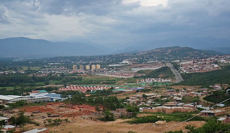
Photo: EEIM, CC BY-SA 3.0.
Villa del Rosario is a Colombian municipality and city located in the eastern part of North Santander department. It is part of the Metropolitan Area of Cúcuta. Villa del Rosario is situated 6 km northeast of ESCUELA LA CORDIALIDAD.
Los Caobos, Cúcuta
Neighborhood

Photo: EEIM, CC BY-SA 3.0.
Los Caobos, Cúcuta is a neighborhood, which is situated 10 km north of ESCUELA LA CORDIALIDAD.
ESCUELA LA CORDIALIDAD
- Type: School
- Address: LOS PATIOS, NORTE DE SANTANDER
- Category: education
- Location: Los Patios, Norte de Santander Department, Colombia, South America
- View on OpenStreetMap
Latitude
7.80051° or 7° 48′ 2″ northLongitude
-72.51811° or 72° 31′ 5″ westOpen location code
67V9RF2J+6QOpenStreetMap ID
node 12480809059OpenStreetMap feature
amenity=school
This page is based on OpenStreetMap, Wikidata, and Wikimedia Commons.
We’d love your help improving our open data sources. Thank you for contributing.
Satellite Map
Discover ESCUELA LA CORDIALIDAD from above in high-definition satellite imagery.
Notable Places Nearby
Highlights include Gramillada Villabetania and Parque Villabetania.
Nearby Places
Explore places such as Terpel and ESCUELA MIX LOS LLANITOS.
Colombia: Must-Visit Destinations
Delve into Bogotá, Medellín, Cali, and Cartagena.
Curious Places to Discover
Uncover intriguing places from every corner of the globe.
About Mapcarta. Data © OpenStreetMap contributors and available under the Open Database License". Text is available under the CC BY-SA 4.0 license, except for photos, directions, and the map. Photo: Wikimedia, CC0.