The Ironing Maid Launderette
The Ironing Maid Launderette is a laundromat in Kirklees, England which is located on Wakefield Road. The Ironing Maid Launderette is situated nearby to Somerset Bridge, as well as near St. Joseph’s Catholic Church.| Tap on a place to explore it |
- Opening hours:
Monday—Friday: 8:30 AM—5:30 PM
Saturday: 9:00 AM—1:00 PM
Sunday: closed - Type: Laundromat
- Address: 63 Wakefield Road, Huddersfield, HD5 9AB
Places of Interest Nearby
Highlights include Kirklees Stadium and Lawrence Batley Theatre.
Kirklees Stadium
Stadium

Photo: Wikimedia, CC BY-SA 2.0.
Kirklees Stadium, currently known as the Accu Stadium for sponsorship reasons, is a multi-purpose stadium in Huddersfield, West Yorkshire, England. Since 1994, it has been the home ground of Huddersfield Town Association Football Club and Huddersfield Giants Rugby League Football Club, both of whom moved from Leeds Road. Kirklees Stadium is situated 4,000 feet north of The Ironing Maid Launderette.
Lawrence Batley Theatre
Theater building
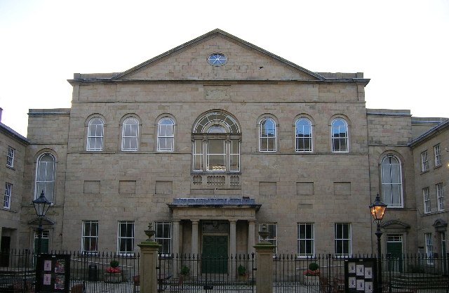
Photo: Ian M, CC BY-SA 2.0.
Lawrence Batley Theatre is a theatre in Huddersfield, West Yorkshire, England which offers drama, music, dance and comedy. The theatre is named after Lawrence Batley, a local entrepreneur and philanthropist, who founded a nationwide cash and carry chain. Lawrence Batley Theatre is situated 2,000 feet west of The Ironing Maid Launderette.
Kingsgate, Huddersfield
Shopping center
The Kingsgate Shopping Centre is a shopping centre in Huddersfield located to the west of Shorehead Roundabout and East of the junction of King Street and Queen Street and Cross Church Street. Kingsgate, Huddersfield is situated 1,900 feet northwest of The Ironing Maid Launderette.
Places in the Area
Nearby places include Aspley and Moldgreen.
Aspley
Suburb
Aspley is an area adjacent to the ring road around Huddersfield, Kirklees, West Yorkshire, England. It comprises a mixture of independent shops, commercial units, a small retail park, houses, student accommodation and sections of the University of Huddersfield and Kirklees Council offices, pubs and fast food outlets.
Moldgreen
Suburb
Moldgreen is a district of Huddersfield, West Yorkshire in England, approximately one mile east of the town centre between Dalton and Aspley. The main Wakefield Road, the A629, is the main thoroughfare through the district.
Huddersfield

Photo: donald judge, CC BY 2.0.
Huddersfield is in the metropolitan borough of Kirklees in West Yorkshire in England. This article covers the town of Huddersfield, and the district around it including the Colne and Holme valleys.
The Ironing Maid Launderette
- Category: shop
- Location: Kirklees, England, United Kingdom, Britain and Ireland, Europe
- View on OpenStreetMap
Latitude
53.64341° or 53° 38′ 36″ northLongitude
-1.77103° or 1° 46′ 16″ westOpen location code
9C5WJ6VH+9HOpenStreetMap ID
node 12484449259OpenStreetMap feature
shop=laundry
This page is based on OpenStreetMap, Wikidata, and Wikimedia Commons.
We’d love your help improving our open data sources. Thank you for contributing.
Satellite Map
Discover The Ironing Maid Launderette from above in high-definition satellite imagery.
Notable Places Nearby
Highlights include Somerset Bridge and St. Joseph’s Catholic Church.
Nearby Places
Explore places such as Subway and Kebabish Aspley.
England: Must-Visit Destinations
Delve into London, Manchester, Sheffield, and Leeds.
Curious Laundromats to Discover
Uncover intriguing laundromats from every corner of the globe.
About Mapcarta. Data © OpenStreetMap contributors and available under the Open Database License". Text is available under the CC BY-SA 4.0 license, except for photos, directions, and the map. Photo: sidibousaid, CC BY 2.0.