Picurujo
Picurujo is a peak in Hervás, Caceres, Extremadura. Picurujo is situated nearby to the locality Palancarejo, as well as near El Berrocal.| Tap on a place to explore it |
Places of Interest
Highlights include Iglesia de Santa María, Baños de Montemayor and Baños Reservoir.
Iglesia de Santa María, Baños de Montemayor
Church
 Iglesia de Santa María, Baños de Montemayor is a church.


Places in the Area
Nearby places include Baños de Montemayor and La Garganta.
Baños de Montemayor
Village

Photo: Manuelsalo, CC BY-SA 3.0.
Baños de Montemayor is a spa town located in the north of the province of Cáceres, Extremadura, Spain. The village is known for its Roman-built baths. According to the 2017 census, the village has a population of 774 inhabitants.
La Garganta
Village

Photo: Discasto, CC BY-SA 4.0.
La Garganta is a municipality located in the province of Cáceres, Extremadura, Spain. According to the 2006 census, the municipality has a population of 530 inhabitants.
Peñacaballera
Village
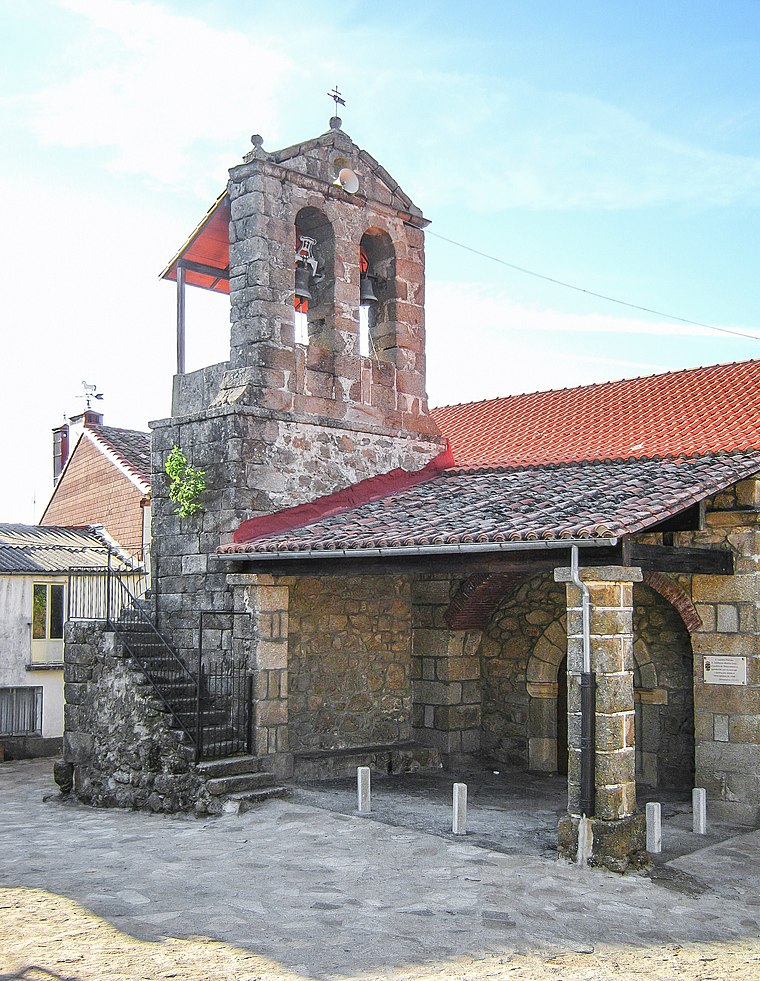
Photo: Ramajero, CC BY-SA 4.0.
Peñacaballera is a municipality located in the province of Salamanca, Castile and León, Spain. As of 2016 the municipality has a population of 149 inhabitants.
Picurujo
- Type: Peak
- Category: landform
- Location: Hervás, Caceres, Extremadura, Central Spain, Spain, Iberia, Europe
- View on OpenStreetMap
Latitude
40.3026° or 40° 18′ 9″ northLongitude
-5.8501° or 5° 51′ 1″ westOpen location code
8CGP843X+2WOpenStreetMap ID
node 1249946060OpenStreetMap feature
natural=peak
This page is based on OpenStreetMap, Wikidata, and Wikimedia Commons.
We’d love your help improving our open data sources. Thank you for contributing.
Satellite Map
Discover Picurujo from above in high-definition satellite imagery.
Localities in the Area
Explore places such as Palancarejo and El Berrocal.
Notable Places Nearby
Highlights include Collado Carnicero and Santo Cristo de la Misericordia.
Extremadura: Must-Visit Destinations
Delve into Mérida, Badajoz, Caceres, and Plasencia.
Curious Peaks to Discover
Uncover intriguing peaks from every corner of the globe.
About Mapcarta. Data © OpenStreetMap contributors and available under the Open Database License". Text is available under the CC BY-SA 4.0 license, except for photos, directions, and the map. Photo: Falk2, CC BY 4.0.