Pla de Castellet
Pla de Castellet is a locality in Rupit i Pruit, Barcelona, Catalonia. Pla de Castellet is situated nearby to the locality Salt de Gravet, as well as near Bosc de la Coma.| Tap on a place to explore it |
Places of Interest
Highlights include Salt de Sallent and L’Agullola.

L’Agullola
Peak

Photo: Enric Ribas i Virgili, Public domain.
L'Agullola is a mountain of the Guilleries Massif, Catalonia, Spain. It has an elevation of 921.9 metres above sea level. The plateau known as Pla de Fàbregues lies NW of the summit. L'Agullola Grossa is a sharp rocky outcrop rising just SE of the cliff wall.
Places in the Area
Nearby places include Rupit and Pruit.
Rupit

Photo: sito.rm, CC BY-SA 3.0.
Rupit is a village in the county of Osona, in the subregion of the Collsacabra, in Catalonia, Spain. It is located at 822 m above sea level, 98 km from Barcelona.

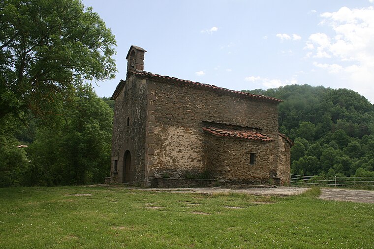
El Far
Hamlet

Photo: Alex Esp, CC BY-SA 3.0.
El Far is a hamlet, which is situated 4 km east of Pla de Castellet.
Pla de Castellet
- Type: Locality
- Location: Rupit i Pruit, Barcelona, Catalonia, Eastern Spain, Spain, Iberia, Europe
- View on OpenStreetMap
Latitude
42.01994° or 42° 1′ 12″ northLongitude
2.48893° or 2° 29′ 20″ eastOpen location code
8FJ42F9Q+XHOpenStreetMap ID
node 12512342012OpenStreetMap feature
place=locality
This page is based on OpenStreetMap, Wikidata, and Wikimedia Commons.
We’d love your help improving our open data sources. Thank you for contributing.
Satellite Map
Discover Pla de Castellet from above in high-definition satellite imagery.
Localities in the Area
Explore places such as Salt de Gravet and Bosc de la Coma.
Notable Places Nearby
Highlights include Font del Saule and Puig Castellet.
Barcelona: Must-Visit Destinations
Delve into Barcelona, Malgrat de Mar, Terrassa, and Badalona.
Curious Localities to Discover
Uncover intriguing localities from every corner of the globe.
About Mapcarta. Data © OpenStreetMap contributors and available under the Open Database License". Text is available under the CC BY-SA 4.0 license, except for photos, directions, and the map. Photo: Alex Micheu Photography, CC BY-SA 3.0.