Tienda Herbal
Tienda Herbal is a health food store in Departamento de Bariloche, Río Negro Province. Tienda Herbal is situated nearby to the post office Correo Argentino, as well as near the marketplace Feria Natural De La Comarca.| Tap on a place to explore it |
Places of Interest Nearby
Highlights include El Bolsón Airport.
El Bolsón Airport
Aerodrome

Photo: Jmmuguerza, CC BY-SA 4.0.
El Bolsón Airport is an airport serving El Bolsón, Río Negro, Argentina.
Places in the Area
Nearby places include El Bolsón and Paraje Entre Ríos.
El Bolsón

Photo: Kondorfire, CC BY-SA 4.0.
El Bolsón is a city in Rio Negro. It is known for its artisan community and its wealth of natural attractions including rivers, forests and mountains, which attract outdoors enthusiasts.
Paraje Entre Ríos
Suburb
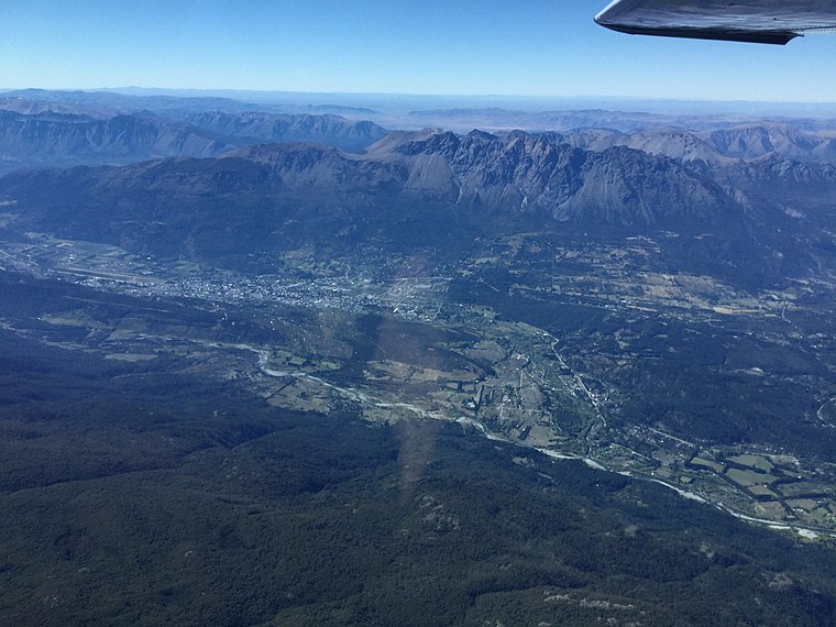
Photo: Jmmuguerza, CC BY-SA 4.0.
Paraje Entre Ríos is a suburb, which is situated 6 km southwest of Tienda Herbal.
Las Golondrinas
Village

Photo: Jmmuguerza, CC BY-SA 4.0.
Las Golondrinas is a village, which is situated 6 km south of Tienda Herbal.
Tienda Herbal
- Type: Health food store
- Categories: shop and food
- Location: Departamento de Bariloche, Río Negro Province, Argentina, South America
- View on OpenStreetMap
Latitude
-41.96332° or 41° 57′ 48″ southLongitude
-71.53606° or 71° 32′ 10″ westOpen location code
47CC2FP7+MHOpenStreetMap ID
node 12512482640OpenStreetMap feature
shop=health_food
This page is based on OpenStreetMap, Wikidata, and Wikimedia Commons.
We’d love your help improving our open data sources. Thank you for contributing.
Satellite Map
Discover Tienda Herbal from above in high-definition satellite imagery.
Notable Places Nearby
Highlights include Correo Argentino and Biblioteca Popular Domingo Faustino Sarmiento.
Nearby Places
Explore places such as Mountain Information Office and Helados & Licuados.
Argentina: Must-Visit Destinations
Delve into Buenos Aires, Misiones, Aconcagua, and Rosario.
Curious Health Food Stores to Discover
Uncover intriguing health food stores from every corner of the globe.
About Mapcarta. Data © OpenStreetMap contributors and available under the Open Database License". Text is available under the CC BY-SA 4.0 license, except for photos, directions, and the map. Photo: Wikimedia, CC0.