Александровское Поле
Александровское Поле is a village in Samara Oblast, Volga Region. Александровское Поле is situated nearby to the town Zhigulevsk, as well as near the village Aleksandrovka.| Tap on a place to explore it |
Places in the Area
Nearby places include Zhigulevsk and Aleksandrovka.
Zhigulevsk
Town

Photo: Delphiski-oracul, CC BY-SA 3.0.
Zhigulevsk is a town in Samara Oblast, Russia, located on the right bank of the Volga River in the Samara Bend near the Zhiguli Mountains, 92 kilometers west of Samara. The population was 55,565 ; 48,770 ; 44,801 . Zhigulevsk is situated 3 km northeast of Александровское Поле.
Aleksandrovka
Village
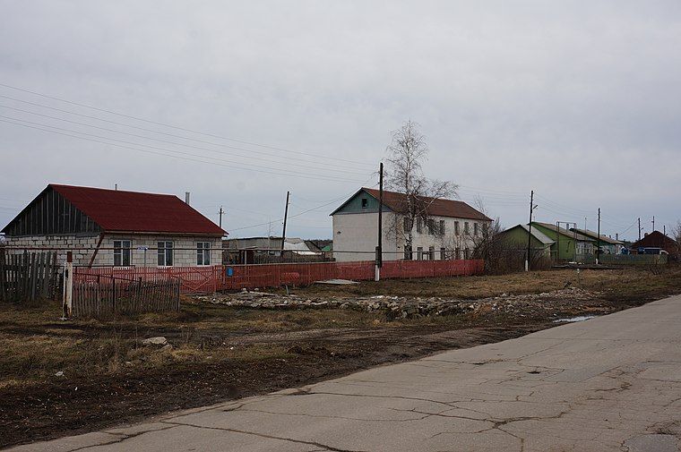
Photo: ShinePhantom, CC BY-SA 4.0.
Aleksandrovka is a village, which is situated 3 km south of Александровское Поле.
Yablonevyy Ovrag
Suburb

Photo: Lite, CC BY-SA 3.0.
Yablonevyy Ovrag is a suburb, which is situated 5 km northwest of Александровское Поле.
Александровское Поле
- Type: Village
- Category: locality
- Location: Samara Oblast, Volga Region, Russia, Eastern Europe, Europe
- View on OpenStreetMap
Latitude
53.38138° or 53° 22′ 53″ northLongitude
49.46628° or 49° 27′ 59″ eastOpen location code
9H5F9FJ8+HGOpenStreetMap ID
node 12529015660OpenStreetMap feature
place=village
This page is based on OpenStreetMap, Wikidata, and Wikimedia Commons.
We’d love your help improving our open data sources. Thank you for contributing.
Satellite Map
Discover Александровское Поле from above in high-definition satellite imagery.
Places with the Same Name
Discover other places named “Александровское Поле”.
Localities in the Area
Explore places such as Микрорайон Г-1 and Александровка.
Notable Places Nearby
Highlights include Луч and Жигулевск 445352.
Curious Villages to Discover
Uncover intriguing villages from every corner of the globe.
About Mapcarta. Data © OpenStreetMap contributors and available under the Open Database License". Text is available under the CC BY-SA 4.0 license, except for photos, directions, and the map. Photo: Юрий Гусев, CC BY-SA 3.0.