Sperrmittelhaus
Sperrmittelhaus is a bunker in Bad Schwartau, Ostholstein, Schleswig-Holstein. Sperrmittelhaus is situated nearby to the deciduous forest Rocksholz, as well as near the town Stockelsdorf.| Tap on a place to explore it |
Places of Interest Nearby
Highlights include Herrenhaus Stockelsdorf and St. Fabian und Sebastian.

St. Fabian und Sebastian
Church

Photo: Genet, CC BY-SA 3.0.
St. Fabian und Sebastian is a church, which is situated 2 km east of Sperrmittelhaus.
Bismarcksäule
Scenic viewpoint

Photo: Dennis Siebert, CC BY-SA 3.0.
Bismarcksäule is a scenic viewpoint, which is situated 3½ km northeast of Sperrmittelhaus.
Places in the Area
Nearby places include Stockelsdorf and Lübeck.
Stockelsdorf
Town

Photo: Genet, CC BY-SA 3.0.
Stockelsdorf is a municipality in the district of Ostholstein, in Schleswig-Holstein, Germany. It is situated directly northwest of Lübeck and forms an agglomeration with the easterly town of Bad Schwartau.
Lübeck
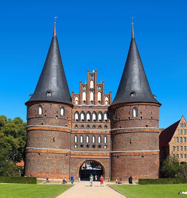
Photo: Dr. Chriss, CC BY-SA 3.0 de.
The Hanseatic City of Lübeck is the largest German port on the Baltic Sea and the second-largest city in Schleswig-Holstein, situated at the mouth of the river Trave.
Ratekau
Village

Photo: Holger.Ellgaard, CC BY-SA 3.0.
Ratekau is a municipality in the district of Ostholstein, in Schleswig-Holstein, Germany. It is situated approximately 10 km northeast of Lübeck. It is the place where Blücher surrendered after the Battle of Lübeck in 1806. Ratekau is situated 7 km northeast of Sperrmittelhaus.
Sperrmittelhaus
- Type: Bunker
- Category: military installation
- Location: Bad Schwartau, Ostholstein, Schleswig-Holstein, Germany, Central Europe, Europe
- View on OpenStreetMap
Latitude
53.919° or 53° 55′ 8″ northLongitude
10.64791° or 10° 38′ 53″ eastOpen location code
9F5GWJ9X+H5OpenStreetMap ID
node 1253199728OpenStreetMap feature
military=bunker
This page is based on OpenStreetMap, Wikidata, and Wikimedia Commons.
We’d love your help improving our open data sources. Thank you for contributing.
Satellite Map
Discover Sperrmittelhaus from above in high-definition satellite imagery.
Places with the Same Name
Discover other places named “Sperrmittelhaus”.
Notable Places Nearby
Highlights include Rocksholz and dance it.
Nearby Places
Explore places such as Umspannwerk Lübeck and Schalthaus UW Lübeck.
Schleswig-Holstein: Must-Visit Destinations
Delve into Kiel, Lübeck, Flensburg, and Heligoland.
Curious Bunkers to Discover
Uncover intriguing bunkers from every corner of the globe.
About Mapcarta. Data © OpenStreetMap contributors and available under the Open Database License". Text is available under the CC BY-SA 4.0 license, except for photos, directions, and the map. Photo: Ypsilon from Finland, CC0.