Cristo di sotto
Cristo di sotto is a hamlet in Codigoro, Ferrara, Emilia-Romagna. Cristo di sotto is situated nearby to the hamlet Cristo di sopra, as well as near Case Baldi.| Tap on a place to explore it |
Places of Interest
Highlights include Codigoro railway station.
Codigoro railway station
Railway station

Photo: Threecharlie, CC BY-SA 4.0.
Codigoro railway station is situated 3½ km northwest of Cristo di sotto.
Places in the Area
Nearby places include Vaccolino and Lagosanto.
Vaccolino
Village

Photo: Fabiolicari, Public domain.
Vaccolino is a village, which is situated 4 km east of Cristo di sotto.
Lagosanto
Village

Photo: Amstead23, CC BY-SA 4.0.
Lagosanto is a municipality in the province of Ferrara, Emilia-Romagna region, Italy, with a population of approximately 4,800. The town center includes the town hall, restaurants, shops, bars, and residential areas. Lagosanto is situated 5 km south of Cristo di sotto.
Massa Fiscaglia
Village
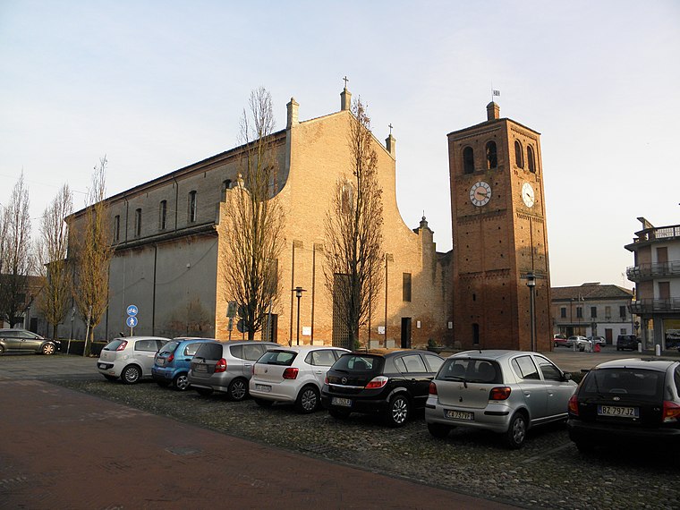
Photo: Threecharlie, CC BY-SA 4.0.
Massa Fiscaglia is a frazione of the comune of Fiscaglia in the Province of Ferrara in the Italian region Emilia-Romagna, located about 60 kilometres northeast of Bologna and about 30 kilometres east of Ferrara. It was a separate comune until 2014. Massa Fiscaglia is situated 9 km west of Cristo di sotto.
Cristo di sotto
- Type: Hamlet
- Category: locality
- Location: Codigoro, Ferrara, Emilia-Romagna, Northeast Italy, Italy, Europe
- View on OpenStreetMap
Latitude
44.80945° or 44° 48′ 34″ northLongitude
12.13001° or 12° 7′ 48″ eastOpen location code
8FPJR45J+Q2OpenStreetMap ID
node 12541052882OpenStreetMap feature
place=hamlet
This page is based on OpenStreetMap, Wikidata, and Wikimedia Commons.
We’d love your help improving our open data sources. Thank you for contributing.
Satellite Map
Discover Cristo di sotto from above in high-definition satellite imagery.
Localities in the Area
Explore places such as Cristo di sotto and Cristo di sopra.
Notable Places Nearby
Highlights include Biblioteca comunale Giorgio Bassani and Cimitero di Codigoro.
Emilia-Romagna: Must-Visit Destinations
Delve into Bologna, Ravenna, Parma, and Modena.
Curious Hamlets to Discover
Uncover intriguing hamlets from every corner of the globe.
About Mapcarta. Data © OpenStreetMap contributors and available under the Open Database License". Text is available under the CC BY-SA 4.0 license, except for photos, directions, and the map. Photo: SjRodier, CC0.