Institut des Ursulines
Institut des Ursulines is a school in Koekelberg, Arrondissement of Brussels-Capital. Institut des Ursulines is situated nearby to Annie Cordy Tunnel, as well as near the metro station Elisabeth.| Tap on a place to explore it |
Places of Interest Nearby
Highlights include Annie Cordy Tunnel and Simonis and Elisabeth stations.
Annie Cordy Tunnel
Tunnel

Photo: Kvdh, CC BY-SA 3.0.
The Annie Cordy Tunnel, formerly the Leopold II Tunnel, is a traffic tunnel in Brussels, Belgium. The tunnel, under the Boulevard Léopold II/Leopold II-laan, connects the Rogier Tunnel and the Small Ring with the Basilica Tunnel and the A10/E40 via the Avenue Charles-Quint/Keizer Karellaan.
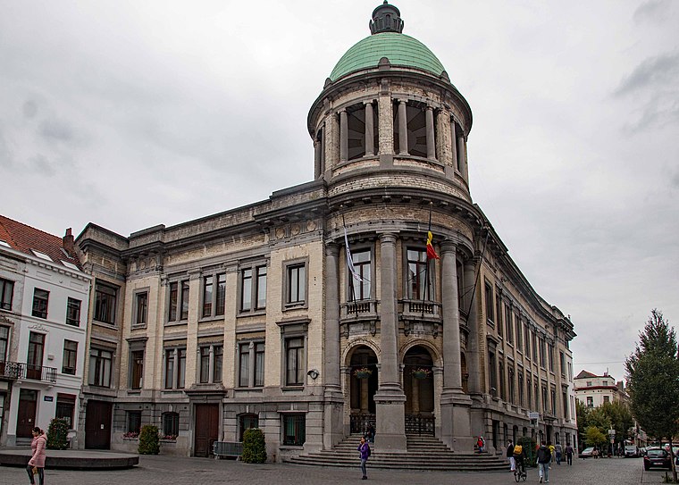
Simonis and Elisabeth stations
Metro station

Photo: Ingolf, CC BY-SA 2.0.
Simonis and Elisabeth are two interconnected Brussels Metro stations serving lines 2 and 6 on two different levels, as well as a tram and bus stop. Additionally, Simonis railway station is a railway station operated by the National Railway Company of Belgium. Simonis and Elisabeth stations is situated 120 metres northwest of Institut des Ursulines.

Places in the Area
Nearby places include Koekelberg and Maritime Quarter.
Koekelberg
Town

Photo: Dilaudid, CC BY-SA 3.0.
Koekelberg is one of the 19 municipalities of the Brussels-Capital Region, Belgium. Located in the north-western part of the region, it is bordered by Berchem-Sainte-Agathe, Ganshoren, Jette, and Molenbeek-Saint-Jean.
Maritime Quarter
Neighborhood
The Maritime Quarter is a quarter of Brussels, Belgium. Located in the north of the municipality of Molenbeek-Saint-Jean, with a piece extending into the City of Brussels, it lies adjacent to the Brussels Canal and forms part of the broader Canal Zone, an area that has long served as a logistical and economic artery for the city.
Molenbeek and surroundings
 Molenbeek and neighbouring quarters in Brussels have a bit of a shoddy reputation, in part due to overhyped media reports and in part due to genuine issues.
Institut des Ursulines
- Type: School
- Category: education
- Location: Koekelberg, Arrondissement of Brussels-Capital, Brussels, Brussels Capital, Belgium, Benelux, Europe
- View on OpenStreetMap
Latitude
50.86254° or 50° 51′ 45″ northLongitude
4.33188° or 4° 19′ 55″ eastOpen location code
9F26V87J+2QOpenStreetMap ID
node 12546665404OpenStreetMap feature
amenity=school
This page is based on OpenStreetMap, Wikidata, and Wikimedia Commons.
We’d love your help improving our open data sources. Thank you for contributing.
Satellite Map
Discover Institut des Ursulines from above in high-definition satellite imagery.
Places with the Same Name
Discover other places named “Institut des Ursulines”.
Notable Places Nearby
Highlights include Simonis railway station and La Tangueria.
Nearby Places
Explore places such as Growfunding vzw and Elisabeth.
Belgium: Must-Visit Destinations
Delve into Brussels, Antwerp, Ghent, and Liège.
Curious Schools to Discover
Uncover intriguing schools from every corner of the globe.
About Mapcarta. Data © OpenStreetMap contributors and available under the Open Database License". Text is available under the CC BY-SA 4.0 license, except for photos, directions, and the map. Photo: Hullie, CC BY-SA 3.0.