Leaky dam #2
Leaky dam #2 is a weir in Daglingworth, Cotswold District, England. Leaky dam #2 is situated nearby to the forest Daglingworth Grove, as well as near Church of the Holy Rood.| Tap on a place to explore it |
Places of Interest Nearby
Highlights include Church of the Holy Rood and Church of St Margaret.
Church of the Holy Rood
Church

Photo: Anthony Brunning, CC BY-SA 2.0.
The Anglican Church of the Holy Rood at Daglingworth in the Cotswold District of Gloucestershire, England was built in the 11th century. It is a Grade I listed building. Church of the Holy Rood is situated 1,800 feet southeast of Leaky dam #2.
Church of St Margaret
Church

Photo: norman hyett, CC BY-SA 2.0.
The Anglican Church of St Margaret at Bagendon in the Cotswold District of Gloucestershire, England was built in the 12th century. It is a grade I listed building. Church of St Margaret is situated 1½ miles northeast of Leaky dam #2.
Church of St Peter
Church

Photo: John Salmon, CC BY-SA 2.0.
Church of St Peter is situated 1½ miles southeast of Leaky dam #2.
Places in the Area
Nearby places include Duntisbourne Leer and Stratton.
Duntisbourne Leer
Village

Photo: Saffron Blaze, CC BY-SA 3.0.
Duntisbourne Leer is a hamlet in the county of Gloucestershire, and lies within the Cotswolds, a range of hills designated an Area of Outstanding Natural Beauty. Duntisbourne Leer is situated 1½ miles northwest of Leaky dam #2.
Stratton
Village

Photo: Dave Bushell, CC BY-SA 2.0.
Stratton is a village, ward and former civil parish about 22 miles from Gloucester, now in the parish of Cirencester, in the Cotswold district, in the county of Gloucestershire, England. Stratton is situated 2 miles southeast of Leaky dam #2.
Woodmancote
Village
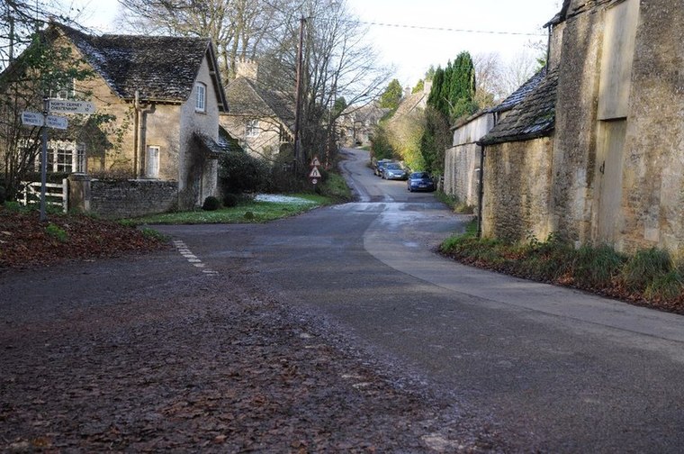
Photo: Philip Halling, CC BY-SA 2.0.
Woodmancote is a Cotswolds village near Cirencester, Gloucestershire, England. The village lies just off the A435. The village is 0.2 square miles in area. Woodmancote is situated 2½ miles north of Leaky dam #2.
Leaky dam #2
Latitude
51.74808° or 51° 44′ 53″ northLongitude
-2.01443° or 2° 0′ 52″ westHeight
1.6 feet (0.5 metres)Open location code
9C3VPXXP+66OpenStreetMap ID
node 12548803457OpenStreetMap feature
waterway=weir
This page is based on OpenStreetMap, Wikidata, and Wikimedia Commons.
We’d love your help improving our open data sources. Thank you for contributing.
Satellite Map
Discover Leaky dam #2 from above in high-definition satellite imagery.
Notable Places Nearby
Highlights include Daglingworth Grove and Snakes‘ Grove.
Nearby Places
Explore places such as Leaky Dam #1 and Village Hall.
Gloucestershire: Must-Visit Destinations
Delve into Gloucester, Cheltenham, Cirencester, and Yate.
Curious Weirs to Discover
Uncover intriguing weirs from every corner of the globe.
About Mapcarta. Data © OpenStreetMap contributors and available under the Open Database License". Text is available under the CC BY-SA 4.0 license, except for photos, directions, and the map. Photo: Matthew Hartley, CC BY-SA 2.0.