Tinow´s Show
Tinow´s Show is an office in Leubsdorf, Mittelsachsen, Saxony which is located on Grünhainichener Straße. Tinow´s Show is situated nearby to the fire station Feuerwehr Marbach, as well as near the peak Gerichtsberg.| Tap on a place to explore it |
- Email: zauber@tinoshow.de
- Type: Office
- Address: Grünhainichener Straße 77, Marbach, Leubsdorf, 09573
Places of Interest Nearby
Highlights include Kgl.-sächs. Postmeilenstein Leubsdorf and Station 90 Waldkirchen.
Kgl.-sächs. Postmeilenstein Leubsdorf
Historic site

Photo: Wikimedia, CC BY-SA 3.0.
Kgl.-sächs. Postmeilenstein Leubsdorf is a historic site, which is situated 1½ km west of Tinow´s Show.
Station 90 Waldkirchen
Historic site
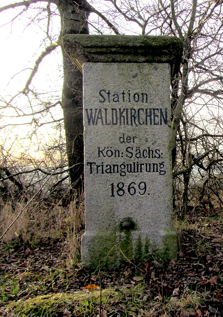
Photo: Wikimedia, CC BY-SA 3.0.
Station 90 Waldkirchen is a historic site, which is situated 2 km southwest of Tinow´s Show.
Grünhainichen-Borstendorf railway station
Railway station

Photo: Aagnverglaser, CC BY-SA 4.0.
Grünhainichen-Borstendorf railway station is situated 2½ km southeast of Tinow´s Show.
Places in the Area
Nearby places include Grünhainichen and Waldkirchen.
Grünhainichen
Village

Photo: Miebner, CC BY-SA 3.0.
Grünhainichen is a municipality in the district Erzgebirgskreis, in Saxony, Germany. On 1 March 2009, Grünhainichen and the neighboring municipality Waldkirchen were merged. On 1 January 2015, the former municipality Borstendorf became part of Grünhainichen. Grünhainichen is situated 2½ km southeast of Tinow´s Show.
Waldkirchen
Village
Waldkirchen is a village and former municipality in the district of Erzgebirgskreis, in Saxony, Germany. Since 1 March 2009 it has been part of the municipality of Grünhainichen. Waldkirchen is situated 2½ km southwest of Tinow´s Show.
Borstendorf
Village

Photo: Rauenstein, CC BY-SA 3.0.
Borstendorf is a village and a former municipality in the district Erzgebirgskreis, in Saxony, Germany. Since 1 January 2015 it is part of the municipality Grünhainichen. Borstendorf is situated 3½ km southeast of Tinow´s Show.
Tinow´s Show
- Location: Leubsdorf, Mittelsachsen, Saxony, Germany, Central Europe, Europe
- View on OpenStreetMap
Latitude
50.78704° or 50° 47′ 13″ northLongitude
13.13395° or 13° 8′ 2″ eastOperator
Tino SchaufußOpen location code
9F2MQ4PM+RHOpenStreetMap ID
node 12585420845OpenStreetMap feature
office=yes
This page is based on OpenStreetMap, Wikidata, and Wikimedia Commons.
We’d love your help improving our open data sources. Thank you for contributing.
Satellite Map
Discover Tinow´s Show from above in high-definition satellite imagery.
Notable Places Nearby
Highlights include Feuerwehr Marbach and Gerichtsberg.
Nearby Places
Explore places such as TL Spezialmontagen and Ferienwohning Marbach.
Saxony: Must-Visit Destinations
Delve into Dresden, Leipzig, Chemnitz, and Meißen.
Curious Offices to Discover
Uncover intriguing offices from every corner of the globe.
About Mapcarta. Data © OpenStreetMap contributors and available under the Open Database License". Text is available under the CC BY-SA 4.0 license, except for photos, directions, and the map. Photo: Taxiarchos228, FAL.