U.S. La Vallee
U.S. La Vallee is a disaster remains in Chittenden County, Northwest Vermont, Vermont. Access is restricted and requires permission. U.S. La Vallee is situated nearby to Rock Dunder, as well as near the neighborhood Lakeside Development.| Tap on a place to explore it |
Places of Interest Nearby
Highlights include Rock Dunder and Juniper Island.
Rock Dunder

Photo: Mfwills, CC BY-SA 3.0.
Rock Dunder is a tiny rock island extending just above the waters of Lake Champlain roughly 2.8 miles southwest from the Burlington, Vermont ferry dock.
Juniper Island
Islet

Photo: Mfwills, CC BY-SA 3.0.
Juniper Island is a 13-acre island in Lake Champlain, approximately 3.15-mile southwest of Burlington, Vermont's King Street Ferry Dock. The island is home to the Juniper Island Lighthouse, and is prominently visible in Lake Champlain from anywhere along the Burlington waterfront. Juniper Island is situated 2 miles west of U.S. La Vallee.
Juniper Island Light
Lighthouse

Photo: Greezens, CC BY-SA 4.0.
The Juniper Island Light on Juniper Island in Vermont is the oldest light station on Lake Champlain and the oldest surviving cast iron lighthouse in the United States. Juniper Island Light is situated 2 miles west of U.S. La Vallee.
Places in the Area
Nearby places include Lakeside Development and Burlington.
Lakeside Development
Neighborhood
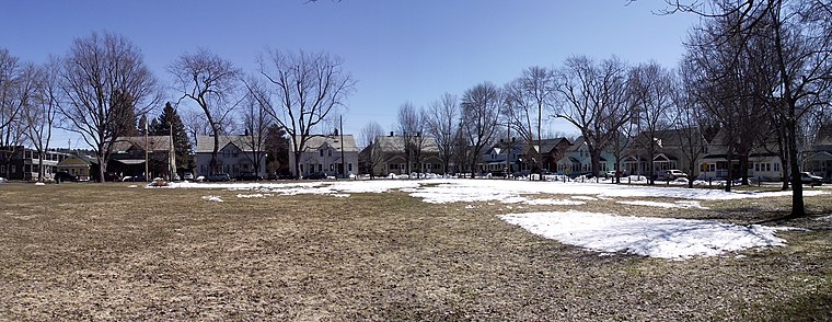
Photo: Mfwills, CC BY-SA 3.0.
The Lakeside Development, or the Lakeside Historic District, encompasses a historic company-built residential development in southern Burlington, Vermont.
Burlington

Photo: Michelle Maria, CC BY 3.0.
Burlington is the largest city in the American state of Vermont. Situated on Lake Champlain, it is the heart of a small urban area that acts as Vermont's vibrant and cosmopolitan center.
South Burlington
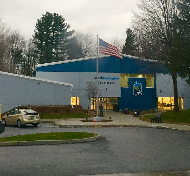
Photo: Superbug2399, CC BY-SA 3.0.
South Burlington is a city in Northwest Vermont. It is a suburb of Burlington and is the second largest city in the state. Unlike most sizable Vermont communities, it doesn't have a downtown of any sort since most of the city's development has occurred in the last few decades.
U.S. La Vallee
- Access is restricted and requires permission.
- Type: Disaster remains
- Categories: historic site, tourist attraction, and tourism
- Location: Chittenden County, Northwest Vermont, Vermont, New England, United States, North America
- View on OpenStreetMap
Latitude
44.44122° or 44° 26′ 28″ northLongitude
-73.23684° or 73° 14′ 13″ westOpen location code
87P8CQR7+F7OpenStreetMap ID
node 12599545354OpenStreetMap feature
historic=wreck
This page is based on OpenStreetMap, Wikidata, and Wikimedia Commons.
We’d love your help improving our open data sources. Thank you for contributing.
Satellite Map
Discover U.S. La Vallee from above in high-definition satellite imagery.
Notable Places Nearby
Highlights include Queen City Park and Forever Young Treehouse.
Nearby Places
Explore places such as Rock Dunder and Juniper Island and Little Free Library.
Chittenden County: Must-Visit Destinations
Delve into South Burlington, Winooski, Colchester, and Essex.
Curious Disaster Remains to Discover
Uncover intriguing disaster remains from every corner of the globe.
About Mapcarta. Data © OpenStreetMap contributors and available under the Open Database License". Text is available under the CC BY-SA 4.0 license, except for photos, directions, and the map. Photo: Wikimedia, CC0.