Lansdowne Convenience Store
Lansdowne Convenience Store is a convenience store in Bournemouth, Christchurch and Poole Council, England. Lansdowne Convenience Store is situated nearby to the pub Central Fire Station, as well as near Bournemouth University (Lansdowne Campus).| Tap on a place to explore it |
Places of Interest Nearby
Highlights include Bournemouth railway station and Central Fire Station.
Bournemouth railway station
Railway station
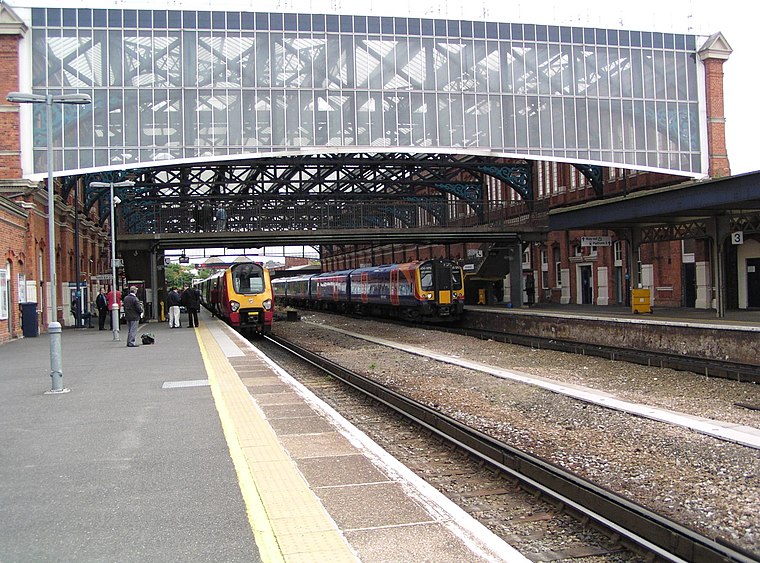
Photo: Our Phellap, CC BY-SA 3.0.
Bournemouth railway station serves the seaside town of Bournemouth, in Dorset, England. It was known previously as Bournemouth East and then Bournemouth Central. Bournemouth railway station is situated 1,600 feet north of Lansdowne Convenience Store.

Russell-Cotes Art Gallery & Museum
Museum
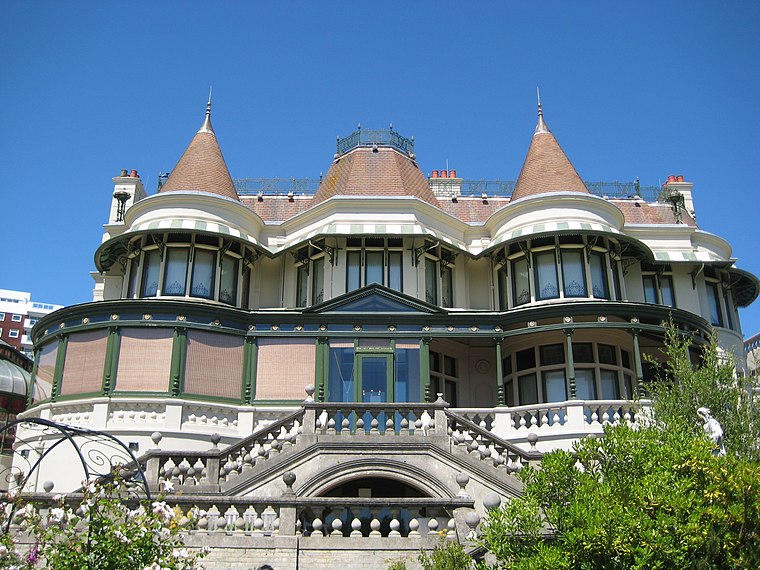
Photo: LordHarris, CC BY 2.5.
The Russell-Cotes Museum is an art gallery and museum in Bournemouth, England. A Grade II* listed building originally known as East Cliff Hall, it is located on the top of the East Cliff, next to the Royal Bath Hotel. Russell-Cotes Art Gallery & Museum is situated 2,200 feet southwest of Lansdowne Convenience Store.
Places in the Area
Nearby places include Bournemouth and Springbourne.
Bournemouth

Photo: NMOS332, CC BY-SA 2.5.
Bournemouth is a seaside resort town in the county of Dorset on the south coast of England. Bournemouth is known for its popularity with pensioners and has many residential care homes due to its constant and warm weather.
Springbourne
Suburb
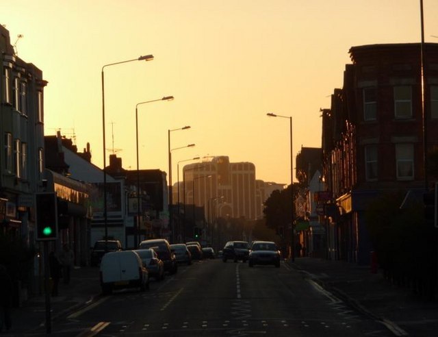
Photo: Chris Downer, CC BY-SA 2.0.
Springbourne is a suburb of Bournemouth in Dorset, England. It occupies the north-east part of the main built-up area, north of Boscombe. Its formal boundaries are Northcote Road to the west, the Wessex Way to the north, Ashley Road to the east, and the railway line to the south.
West Cliff
Suburb
West Cliff is a suburb of Bournemouth, Dorset, England. West Cliff is south of Westbourne and east of Branksome in Poole.
Lansdowne Convenience Store
- Type: Convenience store
- Categories: shop and food
- Location: Bournemouth, Christchurch and Poole Council, England, United Kingdom, Britain and Ireland, Europe
- View on OpenStreetMap
Latitude
50.72293° or 50° 43′ 23″ northLongitude
-1.86572° or 1° 51′ 57″ westOpen location code
9C2WP4FM+5POpenStreetMap ID
node 12620336593OpenStreetMap feature
shop=convenience
This page is based on OpenStreetMap, Wikidata, and Wikimedia Commons.
We’d love your help improving our open data sources. Thank you for contributing.
Satellite Map
Discover Lansdowne Convenience Store from above in high-definition satellite imagery.
Notable Places Nearby
Highlights include Bournemouth University (Lansdowne Campus) and Lansdowne Church.
Nearby Places
Explore places such as Unique Unisex Barbers and Wok 2 Go.
England: Must-Visit Destinations
Delve into London, Manchester, Sheffield, and Leeds.
Curious Convenience Stores to Discover
Uncover intriguing convenience stores from every corner of the globe.
About Mapcarta. Data © OpenStreetMap contributors and available under the Open Database License". Text is available under the CC BY-SA 4.0 license, except for photos, directions, and the map. Photo: sidibousaid, CC BY 2.0.