Granges, sud
Granges, sud is a bus stop in Sierre, Valais. Granges, sud is situated nearby to Medieval Castle Hill, as well as near the pitch Stade du Pré de Savioz.| Tap on a place to explore it |
Places of Interest Nearby
Highlights include Medieval Castle Hill and Château Morestel (city hall).
Medieval Castle Hill
Castle

Photo: Vaquins, CC BY-SA 3.0.
Medieval Castle Hill is situated 120 metres west of Granges, sud.
Château Morestel (city hall)
Castle

Photo: Tnemtsoni, CC BY-SA 4.0.
Château Morestel (city hall) is a castle, which is situated 1 km southwest of Granges, sud.
Painted House (former Inn)
Castle

Photo: Chelin, CC BY-SA 3.0.
Painted House (former Inn) is a castle, which is situated 1½ km northwest of Granges, sud.
Places in the Area
Nearby places include Grône and Flanthey.
Grône
Village

Photo: Espandero, CC BY-SA 4.0.
Grône is a municipality in the district of Sierre in the canton of Valais in Switzerland.
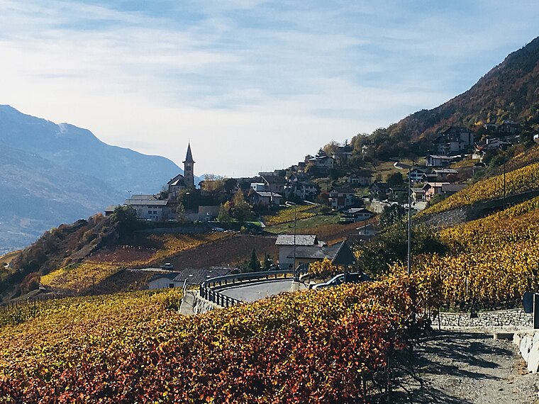
Chelin
Village

Photo: Chkifetz27, CC BY 3.0.
Chelin is a village of the municipality of Lens in the district of Sierre in Switzerland.
Granges, sud
- Type: Bus stop
- Category: transportation
- Location: Sierre, Sierre District, Valais, Switzerland, Central Europe, Europe
- View on OpenStreetMap
Latitude
46.25798° or 46° 15′ 29″ northLongitude
7.46714° or 7° 28′ 2″ eastOpen location code
8FR97F58+5VOpenStreetMap ID
node 12621062015OpenStreetMap feature
highway=bus_stopOpenStreetMap feature
public_transport=platform
This page is based on OpenStreetMap, Wikidata, and Wikimedia Commons.
We’d love your help improving our open data sources. Thank you for contributing.
Satellite Map
Discover Granges, sud from above in high-definition satellite imagery.
Notable Places Nearby
Highlights include Stade du Pré de Savioz and Place des écoles.
Nearby Places
Explore places such as Brumann Viande Séchée and La Mie Dorée.
Valais: Must-Visit Destinations
Delve into Sion, Zermatt, Martigny, and Brig.
Curious Bus Stops to Discover
Uncover intriguing bus stops from every corner of the globe.
About Mapcarta. Data © OpenStreetMap contributors and available under the Open Database License". Text is available under the CC BY-SA 4.0 license, except for photos, directions, and the map. Photo: Famberhorst, CC BY-SA 4.0.