Centro Medico Interlomas
Centro Medico Interlomas is a clinic in Mexico State, Central Mexico. Centro Medico Interlomas is situated nearby to the amusement arcade Videojuegos, as well as near the health club Gym Bravus.| Tap on a place to explore it |
Places of Interest Nearby
Highlights include Embassy of Peru and Torre Altus.
Embassy of Peru
Government office

Photo: Aquintero82, CC BY-SA 4.0.
Embassy of Peru is a government office, which is situated 4 km southeast of Centro Medico Interlomas.
Torre Altus
Apartment building
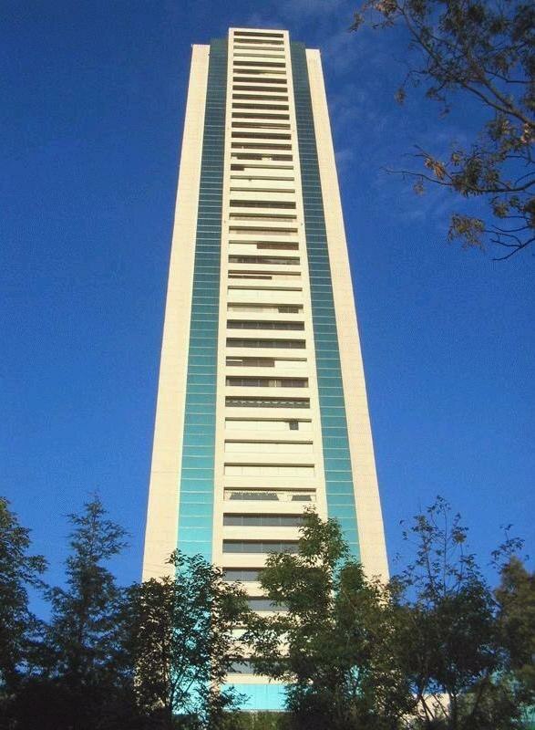
Photo: Wikimedia, Public domain.
Torre Altus is one of the tallest skyscrapers in Mexico City, Mexico. It is a residential condominium tower located on Paseo de los Laureles y Alcanfores in the Bosques de las Lomas district of the Miguel Hidalgo borough in the city. Torre Altus is situated 4 km south of Centro Medico Interlomas.
Places in the Area
Nearby places include Bosques de las Lomas and Santa Fe de Mexico.
Bosques de las Lomas
Neighborhood
Bosques de las Lomas is a colonia, or officially recognised neighbourhood, located in western Mexico City. It falls partly in Cuajimalpa borough and partly in Miguel Hidalgo borough. Bosques de las Lomas is situated 3 km southeast of Centro Medico Interlomas.
Santa Fe de Mexico
Village
Santa Fé de México was a Pueblo Hospital founded by Vasco de Quiroga in 1532. Its ruins are located in the town of Santa Fé in the delegación of Álvaro Obregón in western Mexico City. Santa Fe de Mexico is situated 5 km southeast of Centro Medico Interlomas.
Santa Fe

Photo: Serge Saint, CC BY 2.0.
Santa Fe is in the western area of Mexico City. It is the newest and most modern district of the city, as almost all of it has been developed only in the past twenty years; this puts this district in stark contrast with Mexico City's other districts, especially the Centro Historico.
Centro Medico Interlomas
- Type: Clinic
- Category: health care
- Location: Mexico State, Central Mexico, Mexico, North America
- View on OpenStreetMap
Latitude
19.41464° or 19° 24′ 53″ northLongitude
-99.2703° or 99° 16′ 13″ westOpen location code
76F2CP7H+VVOpenStreetMap ID
node 12778976040OpenStreetMap feature
amenity=clinicOpenStreetMap feature
healthcare=clinic
This page is based on OpenStreetMap, Wikidata, and Wikimedia Commons.
We’d love your help improving our open data sources. Thank you for contributing.
Satellite Map
Discover Centro Medico Interlomas from above in high-definition satellite imagery.
Notable Places Nearby
Highlights include Videojuegos and Gym Bravus.
Nearby Places
Explore places such as Madereria Picos Gemelos and Estancia Infantil Mi Segunda Casita.
Mexico State: Must-Visit Destinations
Delve into Tequixquiac, Toluca, Teotihuacan, and Ecatepec.
Curious Clinics to Discover
Uncover intriguing clinics from every corner of the globe.
About Mapcarta. Data © OpenStreetMap contributors and available under the Open Database License". Text is available under the CC BY-SA 4.0 license, except for photos, directions, and the map. Photo: Wikimedia, CC0.