Santo Stefano di Rogliano
Santo Stefano di Rogliano is a railway station in Santo Stefano di Rogliano, Province of Cosenza, Calabria. Santo Stefano di Rogliano is situated nearby to the sports venue Palazzetto dello sport, as well as near the museum Piccolo Museo della civiltà contadina Tenuta Bocchineri.| Tap on a place to explore it |
Places of Interest Nearby
Highlights include Rogliano railway station and Marzi railway station.
Rogliano railway station
Railway station

Photo: Wikimedia, Public domain.
Rogliano railway station is situated 1½ km south of Santo Stefano di Rogliano.
Marzi railway station
Building
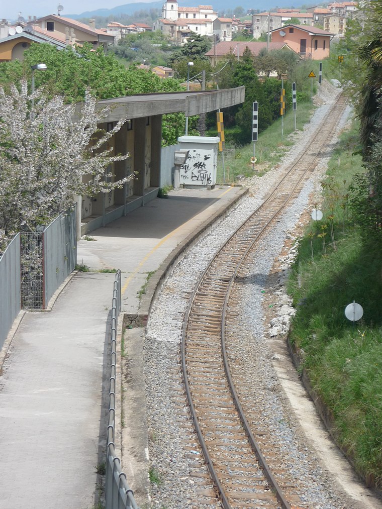
Photo: Marco Chemello (WMIT), CC BY-SA 4.0.
Marzi railway station is a building, which is situated 3 km southwest of Santo Stefano di Rogliano.
Places in the Area
Nearby places include Rogliano and Mangone.
Rogliano
Village

Photo: Luigino, CC BY-SA 3.0.
Rogliano is a town and comune in the province of Cosenza in the Calabria region of southern Italy. It's located in the Savuto Valley. It was mostly destroyed in a violent earthquake in 1638. The town is 19 kilometers from Cosenza.
Marzi
Village

Photo: Marco Chemello (WMIT), CC BY-SA 4.0.
Marzi is a town and comune in the province of Cosenza in the Calabria region of southern Italy. Marzi is situated 3 km south of Santo Stefano di Rogliano.
Santo Stefano di Rogliano
- Type: Railway station
- Category: transportation
- Location: Santo Stefano di Rogliano, Province of Cosenza, Calabria, Southern Italy, Italy, Europe
- View on OpenStreetMap
Latitude
39.1938° or 39° 11′ 38″ northLongitude
16.31866° or 16° 19′ 7″ eastOperator
Ferrovie della CalabriaOpen location code
8FFR58V9+GFOpenStreetMap ID
node 1279681479OpenStreetMap feature
railway=station
This page is based on OpenStreetMap, Wikidata, and Wikimedia Commons.
We’d love your help improving our open data sources. Thank you for contributing.
Satellite Map
Discover Santo Stefano di Rogliano from above in high-definition satellite imagery.
Places with the Same Name
Discover other places named “Santo Stefano di Rogliano”.
Notable Places Nearby
Highlights include Palazzetto dello sport and Palazzetto dello Sport ‘A. De Siena’.
Nearby Places
Explore places such as Rogliano and Tenuta Bocchineri.
Calabria: Must-Visit Destinations
Delve into Reggio Calabria, Catanzaro, Cosenza, and Crotone.
Curious Railway Stations to Discover
Uncover intriguing railway stations from every corner of the globe.
About Mapcarta. Data © OpenStreetMap contributors and available under the Open Database License". Text is available under the CC BY-SA 4.0 license, except for photos, directions, and the map. Photo: Drikyz, CC BY-SA 3.0.