Burnside Cosmetic
Burnside Cosmetic is a doctor’s office in Burnside, South Australia which is located on Greenhill Road. Burnside Cosmetic is situated nearby to the shopping center Trak Village Arcade, as well as near the park Linden Gardens Reserve.| Tap on a place to explore it |
- Opening hours:
Monday—Tuesday: 10:00 AM—8:00 PM
Wednesday: 10:00 AM—7:00 PM
Thursday: 10:00 AM—9:00 PM
Friday—Saturday: 10:00 AM—5:00 PM
Sunday: closed - Email: admin@burnsidecosmetic.com.au
- Type: Doctor’s office
- Address: Greenhill Road
Places of Interest Nearby
Highlights include Burnside Library and Burnside Village.
Burnside Library
Library
The Burnside Library is a public library in the City of Burnside, Adelaide. Located on the corner of Greenhill and Portrush Roads, it is part of the Burnside Civic Centre. Burnside Library is situated 160 metres east of Burnside Cosmetic.
Burnside Village
Shopping center
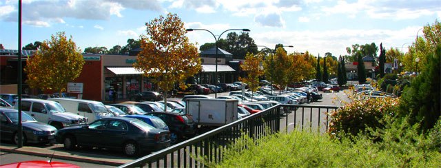
Photo: Beneaththelandslide, CC BY 2.5.
Burnside Village is a premium shopping centre located in the suburb of Glenside in Adelaide, South Australia. It is situated within the City of Burnside local government area. Burnside Village is situated 200 metres south of Burnside Cosmetic.
Burnside Hospital
Hospital

Photo: Beneaththelandslide, Public domain.
Burnside Hospital, formerly Burnside War Memorial Hospital, is the only private community hospital in the City of Burnside, Adelaide, South Australia. Burnside Council suggested building a community hospital in August 1943, as part of its Post-War Reconstruction and Development Committee; it was to cost 100,000 pounds and to remain as a memorial to honour Burnside's war dead. Burnside Hospital is situated 1¼ km north of Burnside Cosmetic.
Places in the Area
Nearby places include Linden Park and Toorak Gardens.
Linden Park
Suburb

Photo: Orderinchaos, CC BY-SA 3.0.
Linden Park is a suburb of Adelaide, South Australia in the City of Burnside. It derives its name from the Linden tree. Linden Park was created when an existing allotment was subdivided and sold for housing in 1882.
Toorak Gardens
Suburb
Toorak Gardens is a leafy, mainly residential inner eastern suburb of Adelaide, South Australia, located 2 km east of the Adelaide city centre. This is one of South Australia’s most expensive suburbs.
Glenside
Suburb
Glenside is a suburb in the local government area of the City of Burnside, Adelaide, South Australia. The suburb is 4.9 kilometres south-east of the Adelaide city centre, home to 2,852 people in a total land area of 1.40 km2.
Burnside Cosmetic
- Category: health care
- Location: Burnside, South Australia, Australia, Oceania
- View on OpenStreetMap
Latitude
-34.93909° or 34° 56′ 21″ southLongitude
138.64198° or 138° 38′ 31″ eastOpen location code
4QQW3J6R+9QOpenStreetMap ID
node 12797165838OpenStreetMap feature
amenity=doctorsOpenStreetMap feature
healthcare=doctor
This page is based on OpenStreetMap, Wikidata, and Wikimedia Commons.
We’d love your help improving our open data sources. Thank you for contributing.
Satellite Map
Discover Burnside Cosmetic from above in high-definition satellite imagery.
Notable Places Nearby
Highlights include Trak Village Arcade and Linden Gardens Reserve.
Nearby Places
Explore places such as Seventeen Jewels and Gratitude Massage.
South Australia: Must-Visit Destinations
Delve into Adelaide, Ikara-Flinders Ranges National Park, Dhilba Guuranda–Innes National Park, and Kangaroo Island.
Curious Doctor’s Offices to Discover
Uncover intriguing doctor’s offices from every corner of the globe.
About Mapcarta. Data © OpenStreetMap contributors and available under the Open Database License". Text is available under the CC BY-SA 4.0 license, except for photos, directions, and the map. Photo: Roumpf, CC BY-SA 4.0.