Estancia La Oculta
Estancia La Oculta is a farm in General Donovan Department, Chaco. Estancia La Oculta is situated nearby to the village La Escondida.| Tap on a place to explore it |
Places in the Area
Nearby places include La Escondida and Lapachito.
La Escondida
Village

Photo: Pertile, CC BY-SA 4.0.
La Escondida is a village and municipality in Chaco Province in northern Argentina La Escondida in the region of Chaco with its 3,948 residents is located in Argentina - some 522 miles north of Buenos Aires. La Escondida is situated 4 km northeast of Estancia La Oculta.
Lapachito
Village

Photo: Pertile, CC BY-SA 3.0.
Lapachito is a village and municipality in Chaco Province in northern Argentina. Lapachito is situated 9 km east of Estancia La Oculta.
La Verde
Village
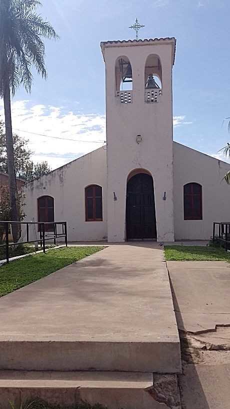
Photo: Adramesc, CC BY-SA 4.0.
La Verde is a village and municipality in Chaco Province in northern Argentina. La Verde is situated 9 km east of Estancia La Oculta.
Estancia La Oculta
- Type: Farm
- Categories: locality and agriculture
- Location: General Donovan Department, Chaco, Argentina, South America
- View on OpenStreetMap
Latitude
-27.13528° or 27° 8′ 7″ southLongitude
-59.47095° or 59° 28′ 15″ westOpen location code
5842VG7H+VJOpenStreetMap ID
node 12844894787OpenStreetMap feature
place=farm
This page is based on OpenStreetMap, Wikidata, and Wikimedia Commons.
We’d love your help improving our open data sources. Thank you for contributing.
Satellite Map
Discover Estancia La Oculta from above in high-definition satellite imagery.
Notable Places Nearby
Highlights include Club San Carlos and Biblioteca Pública La Escondida.
Nearby Places
Explore places such as El Cóndor and Delicias.
Chaco: Must-Visit Destinations
Delve into Resistencia, Formosa, Clorinda, and Río Pilcomayo National Park.
Curious Farms to Discover
Uncover intriguing farms from every corner of the globe.
About Mapcarta. Data © OpenStreetMap contributors and available under the Open Database License". Text is available under the CC BY-SA 4.0 license, except for photos, directions, and the map. Photo: Wikimedia, CC0.