Padel Cañaveral
Padel Cañaveral is a health club in Vicálvaro, Madrid, Community of Madrid which is located on Calle de Enrique Urquijo. Padel Cañaveral is situated nearby to the recreation area La Rana Peluda, as well as near La Tribu.| Tap on a place to explore it |
Places of Interest Nearby
Highlights include Coslada and Vicálvaro.
Coslada
Railway station

Photo: Malopez 21, CC BY-SA 4.0.
Coslada is a railway station, which is situated 2½ km north of Padel Cañaveral.
Vicálvaro
Railway station
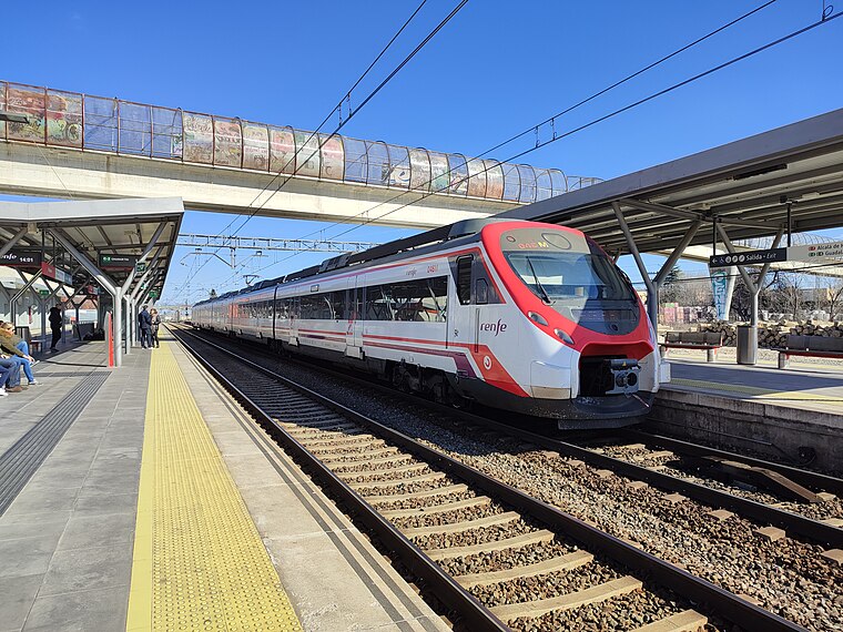
Photo: KingValid04, CC BY-SA 4.0.
Vicálvaro is a railway station, which is situated 3 km west of Padel Cañaveral.
Hospital Universitario del Henares
Hospital
The Hospital Universitario del Henares is a hospital in Coslada, Spain, part of the hospital network of the Servicio Madrileño de Salud. The non-medical services are managed by Sacyr. Hospital Universitario del Henares is situated 3 km northeast of Padel Cañaveral.
Places in the Area
Nearby places include El Cañaveral and Coslada.
El Cañaveral
Quarter

Photo: Asqueladd, CC BY-SA 3.0.
El Cañaveral is an administrative neighborhood of Madrid, belonging to the district of Vicálvaro. Created in November 2017 after the passing of the new internal organization of the district on 31 October 2017 by the plenary of the Madrid City Council…
Coslada
Town

Photo: Carlosdb, Public domain.
Coslada is a city and municipality in the autonomous community of Madrid in central Spain. It has an area of 11.7 km of logistics space in total. With investment from foreign funds and socimis, the logistics sector has grown rapidly thanks to increases in internet shopping. Coslada is situated 2½ km north of Padel Cañaveral.
Cañada Real Galiana
Suburb

Photo: Manuel Martín Vicente, CC BY 2.0.
Cañada Real Galiana is a suburb, which is situated 3 km south of Padel Cañaveral.
Padel Cañaveral
- Type: Health club
- Address: Calle de Enrique Urquijo 90, Madrid, 28052
- Categories: recreation area and sports location
- Location: Vicálvaro, Madrid, Madrid, Community of Madrid, Central Spain, Spain, Iberia, Europe
- View on OpenStreetMap
Latitude
40.40064° or 40° 24′ 2″ northLongitude
-3.55937° or 3° 33′ 34″ westOpen location code
8CGRCC2R+77OpenStreetMap ID
node 12854866913OpenStreetMap feature
leisure=fitness_centreOpenStreetMap feature
sport=padel
This page is based on OpenStreetMap, Wikidata, and Wikimedia Commons.
We’d love your help improving our open data sources. Thank you for contributing.
Satellite Map
Discover Padel Cañaveral from above in high-definition satellite imagery.
Notable Places Nearby
Highlights include La Rana Peluda and Winfit.
Nearby Places
Explore places such as Café Lavé and D Uñas.
Madrid: Must-Visit Destinations
Delve into Sol-Letras-Lavapiés, Salamanca, Retiro-Paseo del Arte, and Chamberí-Castellana.
Curious Health Clubs to Discover
Uncover intriguing health clubs from every corner of the globe.
About Mapcarta. Data © OpenStreetMap contributors and available under the Open Database License". Text is available under the CC BY-SA 4.0 license, except for photos, directions, and the map. Photo: DonPaolo, CC BY-SA 3.0.