Campos de Pangola
Campos de Pangola is a suburb in Valle del Cauca, Pacifica. Campos de Pangola is situated nearby to the town Jamundí, as well as near the locality Toboganes.| Tap on a place to explore it |
Places in the Area
Nearby places include Jamundí.
Jamundí
Town
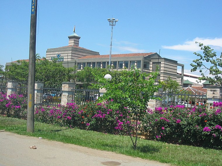
Photo: Martha Rivero, CC BY 2.0.
Jamundí is a town and municipality in the Department of Valle del Cauca, Colombia. Jamundí is located 17 kilometres south of Cali in the west riverside of the Cauca River The average temperature is 23 °C.
Campos de Pangola
- Type: Suburb
- Category: locality
- Location: Valle del Cauca, Pacifica, Colombia, South America
- View on OpenStreetMap
Latitude
3.28086° or 3° 16′ 51″ northLongitude
-76.53373° or 76° 32′ 1″ westOpen location code
67M57FJ8+8GOpenStreetMap ID
node 12877882468OpenStreetMap feature
place=suburb
This page is based on OpenStreetMap, Wikidata, and Wikimedia Commons.
We’d love your help improving our open data sources. Thank you for contributing.
Satellite Map
Discover Campos de Pangola from above in high-definition satellite imagery.
Localities in the Area
Explore places such as PARQUES DE CASTILLA - Portal de Jamundi and Toboganes.
Notable Places Nearby
Highlights include Parque de pangola and Corporacion CRES.
Valle del Cauca: Must-Visit Destinations
Delve into Cali, Buenaventura, Palmira, and Buga.
Curious Suburbs to Discover
Uncover intriguing suburbs from every corner of the globe.
About Mapcarta. Data © OpenStreetMap contributors and available under the Open Database License". Text is available under the CC BY-SA 4.0 license, except for photos, directions, and the map. Photo: Wikimedia, CC BY-SA 3.0.