Chateau des Princes de Ligne
Chateau des Princes de Ligne is a castle in Ath, Hainaut, Wallonia. Access is restricted and requires permission. Chateau des Princes de Ligne is situated nearby to the church Église Notre-Dame de la Visitation, as well as near the playground Plaine de Jeux.| Tap on a place to explore it |
Places of Interest Nearby
Highlights include Château de Moulbaix and Mausoleum of Clementine d’Oultremont.
Château de Moulbaix
Castle

Photo: Wikimedia, Public domain.
Château de Moulbaix is a castle, which is situated 1½ km southeast of Chateau des Princes de Ligne.
Mausoleum of Clementine d’Oultremont
Chapel

Photo: Jean-Pol GRANDMONT, CC BY-SA 3.0.
Mausoleum of Clementine d’Oultremont is a chapel, which is situated 2½ km northwest of Chateau des Princes de Ligne.
Ancienne station vicinale de Mainvault

Photo: Arflhn, CC BY-SA 4.0.
Ancienne station vicinale de Mainvault is situated 3 km north of Chateau des Princes de Ligne.
Places in the Area
Nearby places include Aubechies and Ellignies-Sainte-Anne.
Aubechies
Village

Photo: Wikimedia, CC BY-SA 2.5.
Aubechies is a village of Wallonia and a district of the municipality of Belœil, located in the province of Hainaut, Belgium. Aubechies is a member of the Les Plus Beaux Villages de Wallonie association. Aubechies is situated 6 km south of Chateau des Princes de Ligne.
Ellignies-Sainte-Anne
Village

Photo: Herpoel, CC BY-SA 4.0.
Ellignies-Sainte-Anne is a village, which is situated 7 km south of Chateau des Princes de Ligne.
Huissignies
Village
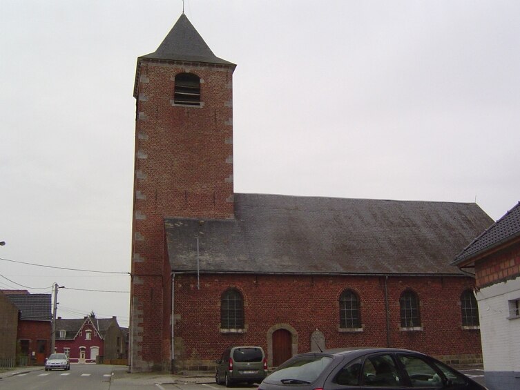
Photo: Laika, CC BY-SA 3.0.
Huissignies is a village, which is situated 7 km southeast of Chateau des Princes de Ligne.
Chateau des Princes de Ligne
- Access is restricted and requires permission.
- Type: Castle
- Categories: historic site, tourist attraction, and tourism
- Location: Ath, Arrondissement of Ath, Hainaut, Wallonia, Belgium, Benelux, Europe
- View on OpenStreetMap
Latitude
50.62039° or 50° 37′ 13″ northLongitude
3.70394° or 3° 42′ 14″ eastOpen location code
9F25JPC3+5HOpenStreetMap ID
node 12882724699OpenStreetMap feature
historic=castle
This page is based on OpenStreetMap, Wikidata, and Wikimedia Commons.
We’d love your help improving our open data sources. Thank you for contributing.
Satellite Map
Discover Chateau des Princes de Ligne from above in high-definition satellite imagery.
Places with the Same Name
Discover other places named “Chateau des Princes de Ligne”.
Notable Places Nearby
Highlights include Église Notre-Dame de la Visitation and Plaine de Jeux.
Nearby Places
Explore places such as Ligne Gare and La Frite d’Or.
Hainaut: Must-Visit Destinations
Delve into Charleroi, Mons, Tournai, and La Louvière.
Curious Castles to Discover
Uncover intriguing castles from every corner of the globe.
About Mapcarta. Data © OpenStreetMap contributors and available under the Open Database License". Text is available under the CC BY-SA 4.0 license, except for photos, directions, and the map. Photo: Daniel71953, CC BY-SA 3.0.