Kiosko Taty
Kiosko Taty is a bar in Villamantilla, Madrid, Community of Madrid. Kiosko Taty is situated nearby to the park Parque Kiosco, as well as near the health club Gimnasio Municipal.| Tap on a place to explore it |
Places in the Area
Nearby places include Villanueva de Perales and Aldea del Fresno.
Villanueva de Perales
Village

Photo: Wikimedia, CC BY 3.0 es.
Villanueva de Perales is a municipality of the Community of Madrid, Spain. In 2022 it had a population of 1623.
Aldea del Fresno
Village
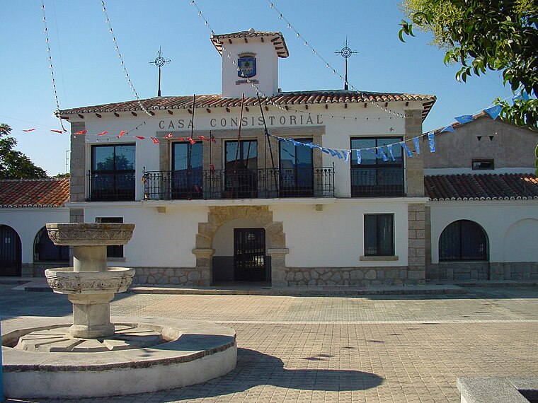
Photo: Wikimedia, CC BY 3.0 es.
Aldea del Fresno is a municipality of the autonomous community of the Community of Madrid in central Spain. Aldea del Fresno goes from north to south along the Alberche river. Aldea del Fresno is situated 6 km west of Kiosko Taty.
Chapinería
Village

Photo: Wikimedia, CC BY 3.0 es.
Chapinería is a municipality of the autonomous community of Madrid in central Spain. It belongs to the comarca of Sierra Oeste de Madrid. Chapinería is situated 8 km northwest of Kiosko Taty.
Kiosko Taty
- Type: Bar
- Location: Villamantilla, Madrid, Community of Madrid, Central Spain, Spain, Iberia, Europe
- View on OpenStreetMap
Latitude
40.34219° or 40° 20′ 32″ northLongitude
-4.12788° or 4° 7′ 40″ westOpen location code
8CGQ8VRC+VROpenStreetMap ID
node 12886689062OpenStreetMap feature
amenity=bar
This page is based on OpenStreetMap, Wikidata, and Wikimedia Commons.
We’d love your help improving our open data sources. Thank you for contributing.
Satellite Map
Discover Kiosko Taty from above in high-definition satellite imagery.
Notable Places Nearby
Highlights include Parque Kiosco and Gimnasio Municipal.
Nearby Places
Explore places such as Olivar - Polideportivo and Casa de niños de Villamantilla - La Jara.
Community of Madrid: Must-Visit Destinations
Delve into Madrid, Alcalá de Henares, Getafe, and Aranjuez.
Curious Bars to Discover
Uncover intriguing bars from every corner of the globe.
About Mapcarta. Data © OpenStreetMap contributors and available under the Open Database License". Text is available under the CC BY-SA 4.0 license, except for photos, directions, and the map. Photo: Wikimedia, CC0.