Pásztorvölgy
Pásztorvölgy is a neighborhood in Heves County, Northern Hungary. Pásztorvölgy is situated nearby to the suburb Felnémet, as well as near the locality Kutya-hegy.| Tap on a place to explore it |
Places of Interest
Highlights include Berva Cave.
Berva Cave
Cave
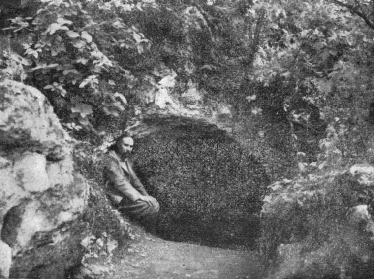
Photo: Wikimedia, Public domain.
Berva Cave is situated 2½ km north of Pásztorvölgy.
Places in the Area
Nearby places include Eger district and Eger.
Eger district

Photo: Globetrotter19, CC BY-SA 3.0.
Eger is a district in eastern part of Heves County. Eger is also the name of the town where the district seat is found. The district is located in the Northern Hungary Statistical Region.
Eger

Photo: Sprok, CC BY-SA 3.0.
Eger is a historic town in Northern Hungary, capital of Heves County, situated between the Mátra and Bükk mountains. Eger district outside of the city is covered in a separate article.
Szarvaskő
Village

Photo: Wojsyl, CC BY-SA 3.0.
Szarvaskő is a village in Heves County, Northern Hungary Region, Hungary. Szarvaskő is situated 6 km northwest of Pásztorvölgy.
Pásztorvölgy
- Type: Neighborhood
- Category: locality
- Location: Heves County, Northern Hungary, Hungary, Central Europe, Europe
- View on OpenStreetMap
Latitude
47.93955° or 47° 56′ 22″ northLongitude
20.36084° or 20° 21′ 39″ eastOpen location code
8GV2W9Q6+R8OpenStreetMap ID
node 1288802697OpenStreetMap feature
place=neighbourhood
This page is based on OpenStreetMap, Wikidata, and Wikimedia Commons.
We’d love your help improving our open data sources. Thank you for contributing.
Satellite Map
Discover Pásztorvölgy from above in high-definition satellite imagery.
Places with the Same Name
Discover other places named “Pásztorvölgy”.
Localities in the Area
Explore places such as Felnémet and Kutya-hegy.
Notable Places Nearby
Highlights include Streetballpálya and Pásztor-völgyi játszótér nagyoknak.
Heves County: Must-Visit Destinations
Delve into Eger, Gyöngyös, Pétervására, and Bélapátfalva.
Curious Neighborhoods to Discover
Uncover intriguing neighborhoods from every corner of the globe.
About Mapcarta. Data © OpenStreetMap contributors and available under the Open Database License". Text is available under the CC BY-SA 4.0 license, except for photos, directions, and the map. Photo: Pe-Jo, CC BY-SA 3.0.