Graig Ola
Graig Ola is a peak in Birchgrove, Swansea, Wales and has an elevation of 686 feet. Graig Ola is situated nearby to the village Glais, as well as near Trebanos.| Tap on a place to explore it |
Places of Interest
Highlights include Carreg Bica Standing Stone and Mynydd Drumau.
Carreg Bica Standing Stone
Archaeological site

Photo: Dai Bevan, CC BY-SA 2.0.
Carreg Bica Standing Stone is an archaeological site.
Mynydd Drumau
Peak

Photo: Nigel Davies, CC BY-SA 2.0.
Mynydd Drumau is a hill in south Wales lying on the border between Swansea and the county of Neath Port Talbot. It is 272m / 892 ft high, and is a Marilyn.
Pontardawe Arts Centre
Theater building

Photo: Jaggery, CC BY-SA 2.0.
Pontardawe Arts Centre is a multi-purpose cultural venue in Pontardawe, Neath Port Talbot, Wales. The building is owned by Neath Port Talbot County Borough Council and is located in Herbert Street.
Places in the Area
Nearby places include Clydach and Pontardawe and Neath.
Clydach and Pontardawe

Photo: Wikimedia, CC BY-SA 3.0.
Pontardawe is a town and a community in the lower Swansea Valley. It had a population of approximately 7,172 in the 2021 Census for Pontardawe Parish, and forms part of the county borough of Neath Port Talbot.
Neath
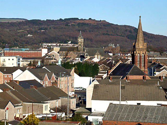
Photo: Robert Davies, CC BY-SA 2.0.
Neath is a town in Glamorgan in South Wales. Although it lacks any specific tourist attractions, its location near the stunning Swansea and Neath Valleys make it a convenient, if not overly inspiring, base for touring these places.
Clydach
Town

Photo: Nigel Davies, CC BY-SA 2.0.
Clydach is a village and community in Swansea, Wales, within the Clydach ward and the Llangyfelach parish. It is located 6 miles northeast of Swansea city centre.
Graig Ola
- Type: Peak with an elevation of 686 feet
- Categories: climbing site, sports location, and landform
- Location: Birchgrove, Swansea, Wales, United Kingdom, Britain and Ireland, Europe
- View on OpenStreetMap
Latitude
51.6952° or 51° 41′ 43″ northLongitude
-3.8625° or 3° 51′ 45″ westElevation
686 feet (209 metres)Open location code
9C3RM4WP+3XOpenStreetMap ID
node 1288932331OpenStreetMap feature
natural=peakOpenStreetMap feature
sport=climbing
This page is based on OpenStreetMap, Wikidata, and Wikimedia Commons.
We’d love your help improving our open data sources. Thank you for contributing.
Satellite Map
Discover Graig Ola from above in high-definition satellite imagery.
Localities in the Area
Explore places such as Glais and Trebanos.
Notable Places Nearby
Highlights include Craig y Pal-Glais and Capel Sion.
Wales: Must-Visit Destinations
Delve into Cardiff, Newport, Llanfairpwllgwyngyll, and Bangor.
Curious Peaks to Discover
Uncover intriguing peaks from every corner of the globe.
About Mapcarta. Data © OpenStreetMap contributors and available under the Open Database License". Text is available under the CC BY-SA 4.0 license, except for photos, directions, and the map. Photo: Andrew Evans, CC BY 2.0.