PamPanorama – Firenze Francavilla
PamPanorama – Firenze Francavilla is a supermarket in Florence, Florence, Tuscany which is located on Via Pietro Francavilla. PamPanorama – Firenze Francavilla is situated nearby to the church Misericordia di Firenze - Oratorio, as well as near the theater building Teatro Cantiere Florida.| Tap on a place to explore it |
Places of Interest Nearby
Highlights include Teatro Cantiere Florida and San Pietro a Monticelli.
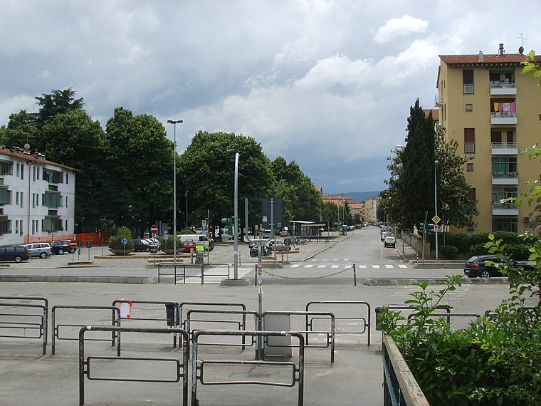
Teatro Cantiere Florida
Theater building

Photo: Sailko, CC BY-SA 3.0.
Teatro Cantiere Florida is a theater building, which is situated 210 metres southeast of PamPanorama – Firenze Francavilla.
San Pietro a Monticelli
Church
 San Pietro a Monticelli is a church, which is situated 240 metres southeast of PamPanorama – Firenze Francavilla.
Santissimo Crocifisso a Monticelli
Church
 Santissimo Crocifisso a Monticelli is a church, which is situated 410 metres south of PamPanorama – Firenze Francavilla.
Places in the Area
Nearby places include Isolotto and Statuto.
Statuto
Neighborhood

Photo: Beppeyeah, CC BY-SA 3.0.
Statuto is a neighborhood, which is situated 2½ km northeast of PamPanorama – Firenze Francavilla.
Peretola
Suburb

Photo: Sailko, CC BY-SA 3.0.
Peretola is a suburb of Florence, Italy, located on the northern extremity of the Florentine commune. It belongs administratively to Quartiere 5 - Rifredi. Peretola is situated 3½ km northwest of PamPanorama – Firenze Francavilla.
PamPanorama – Firenze Francavilla
- Type: Supermarket
- Address: Via Pietro Francavilla 13, Firenze
- Categories: shop and food
- Location: Florence, Florence, Tuscany, Central Italy, Italy, Europe
- View on OpenStreetMap
Latitude
43.77341° or 43° 46′ 24″ northLongitude
11.22427° or 11° 13′ 27″ eastOpen location code
8FMHQ6FF+9POpenStreetMap ID
node 12913162051OpenStreetMap feature
shop=supermarket
This page is based on OpenStreetMap, Wikidata, and Wikimedia Commons.
We’d love your help improving our open data sources. Thank you for contributing.
Satellite Map
Discover PamPanorama – Firenze Francavilla from above in high-definition satellite imagery.
Notable Places Nearby
Highlights include Misericordia di Firenze - Oratorio and Parco Giochi Annibale Caro.
Nearby Places
Explore places such as Casma and Francavilla.
Florence: Must-Visit Destinations
Delve into Scandicci, Fiesole, Greve in Chianti, and San Casciano in Val di Pesa.
Curious Supermarkets to Discover
Uncover intriguing supermarkets from every corner of the globe.
About Mapcarta. Data © OpenStreetMap contributors and available under the Open Database License". Text is available under the CC BY-SA 4.0 license, except for photos, directions, and the map. Photo: Gary Ashley, CC BY 2.0.