Kellands
Kellands is an office in Trafford, England. Kellands is situated nearby to the pitch Hale Village Bowling Green, as well as near Hale Post Office.| Tap on a place to explore it |
Places of Interest Nearby
Highlights include Hale railway station and Altrincham Grammar.
Hale railway station
Railway station

Photo: Peter Whatley, CC BY-SA 2.0.
Hale railway station serves the area of Hale in the south of Altrincham, Greater Manchester, England; it is also used by people living in the surrounding areas of Bowdon and Hale Barns. Hale railway station is situated 1,100 feet northwest of Kellands.
Altrincham Grammar
School

Photo: Rept0n1x, CC BY-SA 3.0.
Altrincham Grammar School for Boys is a boys' grammar school in Altrincham, Greater Manchester, England. Altrincham Grammar is situated 920 feet west of Kellands.
Moss Lane
Stadium

Photo: Jimbo online, Public domain.
Moss Lane is a multi-purpose stadium in Altrincham, Greater Manchester, England. It is currently used primarily for football matches and is the home ground of Altrincham. Moss Lane is situated 3,300 feet northeast of Kellands.
Places in the Area
Nearby places include Hale and Altrincham.
Hale
Suburb
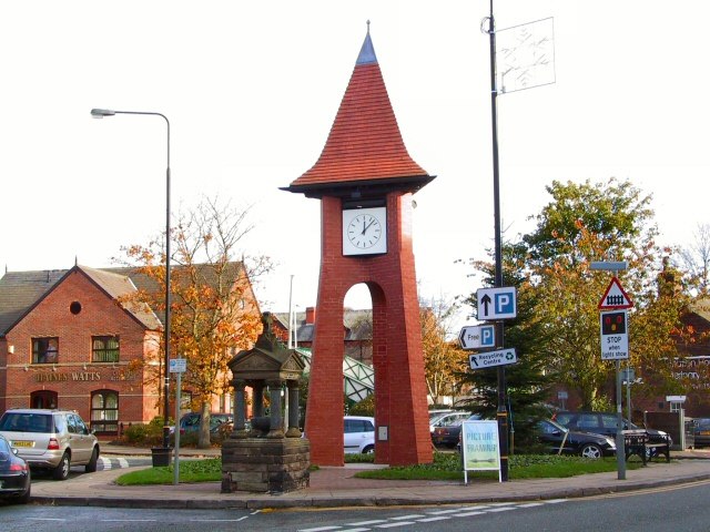
Photo: Roger May, CC BY-SA 2.0.
Altrincham is a town in Greater Manchester in the northwest of England. It was a small market town until the 18th century, then industrialised with the coming of the Bridgewater Canal and later the railway.
Altrincham

Photo: rich-image, CC BY-SA 2.0.
Altrincham is a town in Greater Manchester in the northwest of England. It was a small market town until the 18th century, then industrialised with the coming of the Bridgewater Canal and later the railway.
Newall Green
Suburb
Newall Green is an area in the Wythenshawe district of Manchester, England. It is on the west side of the M56 motorway, approximately 1 mile from Wythenshawe Town Centre. Newall Green is situated 2½ miles east of Kellands.
Kellands
- Type: Financial services
- Category: office
- Location: Trafford, England, United Kingdom, Britain and Ireland, Europe
- View on OpenStreetMap
Latitude
53.37615° or 53° 22′ 34″ northLongitude
-2.34466° or 2° 20′ 41″ westOpen location code
9C5V9MG4+F4OpenStreetMap ID
node 12983496134OpenStreetMap feature
office=financial
This page is based on OpenStreetMap, Wikidata, and Wikimedia Commons.
We’d love your help improving our open data sources. Thank you for contributing.
Satellite Map
Discover Kellands from above in high-definition satellite imagery.
Places with the Same Name
Discover other places named “Kellands”.
Notable Places Nearby
Highlights include Hale Village Bowling Green and Hale Post Office.
Nearby Places
Explore places such as Sainsbury’s Local and Ollerbarrow House.
England: Must-Visit Destinations
Delve into London, Manchester, Sheffield, and Leeds.
Curious Places to Discover
Uncover intriguing places from every corner of the globe.
About Mapcarta. Data © OpenStreetMap contributors and available under the Open Database License". Text is available under the CC BY-SA 4.0 license, except for photos, directions, and the map. Photo: sidibousaid, CC BY 2.0.