Tomba di Giovanni Boldini
Tomba di Giovanni Boldini is a tomb in Ferrara, Ferrara, Emilia-Romagna. Tomba di Giovanni Boldini is situated nearby to the sports venue Tiro a Segno Nazionale - Ferrara, as well as near the cemetery Cimitero della Certosa.| Tap on a place to explore it |
Places of Interest Nearby
Highlights include Ferrara Charterhouse and Porta degli Angeli.
Ferrara Charterhouse

Photo: Lungoleno, CC BY-SA 4.0.
Ferrara Charterhouse, of which the present Church of San Cristoforo alla Certosa was previously the monastic church, is a former charterhouse or Carthusian monastery built in Renaissance style, located on Piazza Borso 50 in Ferrara, Region of Emilia-Romagna, Italy. Ferrara Charterhouse is situated 300 metres southeast of Tomba di Giovanni Boldini.
Porta degli Angeli
City gate

Photo: Rapallo80, CC BY-SA 3.0.
Porta degli Angeli is a city gate, which is situated 200 metres northwest of Tomba di Giovanni Boldini.
San Cristoforo alla Certosa (Church : Ferrara, Italy)
Church

Photo: Lungoleno, CC BY-SA 4.0.
San Cristoforo alla Certosa (Church : Ferrara, Italy) is situated 280 metres south of Tomba di Giovanni Boldini.
Places in the Area
Nearby places include Malborghetto di Boara and Pontelagoscuro.
Malborghetto di Boara
Village
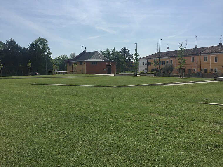
Photo: Nicola Quirico, CC BY-SA 4.0.
Malborghetto di Boara is a village.
Pontelagoscuro
Village

Photo: Rapallo80, CC BY-SA 4.0.
Ferrara is a city and comune in Emilia-Romagna, Northern Italy, capital of the province of Ferrara. As of 2016, it had 132,009 inhabitants. It is situated 44 kilometres northeast of Bologna, on the Po di Volano, a branch channel of the main stream of the Po River, located 5 km north. Pontelagoscuro is situated 3½ km north of Tomba di Giovanni Boldini.
Cassana
Village

Photo: Paolo Monti, CC BY-SA 4.0.
Cassana is a village, which is situated 5 km west of Tomba di Giovanni Boldini.
Tomba di Giovanni Boldini
- Type: Tomb
- Categories: historic site and burial
- Location: Ferrara, Ferrara, Emilia-Romagna, Northeast Italy, Italy, Europe
- View on OpenStreetMap
Latitude
44.84793° or 44° 50′ 53″ northLongitude
11.62607° or 11° 37′ 34″ eastOpen location code
8FPHRJXG+5COpenStreetMap ID
node 12992853514OpenStreetMap feature
historic=tomb
This page is based on OpenStreetMap, Wikidata, and Wikimedia Commons.
We’d love your help improving our open data sources. Thank you for contributing.
Satellite Map
Discover Tomba di Giovanni Boldini from above in high-definition satellite imagery.
Notable Places Nearby
Highlights include Tiro a Segno Nazionale - Ferrara and Cimitero della Certosa.
Nearby Places
Explore places such as Tomba di Corrado Govoni and Tomba di Florestano Vancini.
Emilia-Romagna: Must-Visit Destinations
Delve into Bologna, Ravenna, Parma, and Modena.
Curious Tombs to Discover
Uncover intriguing tombs from every corner of the globe.
About Mapcarta. Data © OpenStreetMap contributors and available under the Open Database License". Text is available under the CC BY-SA 4.0 license, except for photos, directions, and the map. Photo: [2], CC BY-SA 2.0.