Gipfelkreuz Manhartsberg
Gipfelkreuz Manhartsberg is a cross in Straß im Straßertale, Krems District, Lower Austria. Gipfelkreuz Manhartsberg is situated nearby to the wayside shrine Silberne Eiche, Schönberg am Kamp, as well as near the peak Sulzberg.| Tap on a place to explore it |
Places of Interest Nearby
Highlights include Manhartsberg and Silberne Eiche, Schönberg am Kamp.
Manhartsberg
Peak
Manhartsberg is a low, flat-lying mountain ridge in Lower Austria. It rises to a maximum height of 537 m. It is the southeastern flank of the granite Bohemian massif.
Silberne Eiche, Schönberg am Kamp
Wayside shrine

Photo: MFeiler, CC BY-SA 3.0 at.
Silberne Eiche, Schönberg am Kamp is a wayside shrine, which is situated 630 metres west of Gipfelkreuz Manhartsberg.
Chapel of Klein-Burgstall (Gemeinde Maissau)
Church
 Chapel of Klein-Burgstall (Gemeinde Maissau) is a church, which is situated 2 km northeast of Gipfelkreuz Manhartsberg.
Places in the Area
Nearby places include Freischling and Sachsendorf.
Freischling
Village
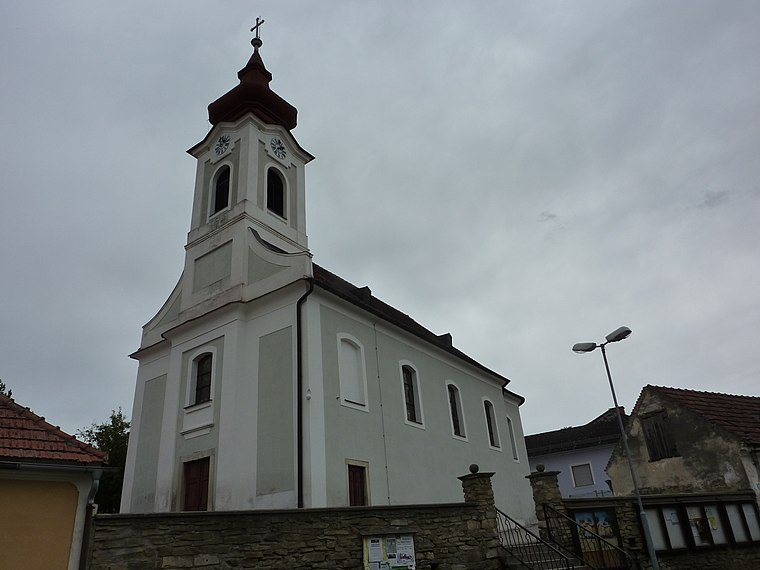
Photo: BSonne, CC BY-SA 3.0.
Freischling is a village, which is situated 3½ km northwest of Gipfelkreuz Manhartsberg.
Sachsendorf
Village

Photo: Bwag, CC BY-SA 4.0.
Sachsendorf is a village, which is situated 5 km north of Gipfelkreuz Manhartsberg.
Maiersch
Village
 Maiersch is a village, which is situated 6 km northwest of Gipfelkreuz Manhartsberg.
Gipfelkreuz Manhartsberg
- Type: Cross
- Location: Straß im Straßertale, Krems District, Lower Austria, Austria, Central Europe, Europe
- View on OpenStreetMap
Latitude
48.54451° or 48° 32′ 40″ northLongitude
15.74946° or 15° 44′ 58″ eastOpen location code
8FWQGPVX+RQOpenStreetMap ID
node 13003887291OpenStreetMap feature
man_made=cross
This page is based on OpenStreetMap, Wikidata, and Wikimedia Commons.
We’d love your help improving our open data sources. Thank you for contributing.
Satellite Map
Discover Gipfelkreuz Manhartsberg from above in high-definition satellite imagery.
Notable Places Nearby
Highlights include Sulzberg and Söllner Bründl.
Nearby Places
Explore places such as Forsthaus Manhartsberg and Tobelkreuz.
Lower Austria: Must-Visit Destinations
Delve into St. Pölten, Wiener Neustadt, Amstetten, and Klosterneuburg.
Curious Crosses to Discover
Uncover intriguing crosses from every corner of the globe.
About Mapcarta. Data © OpenStreetMap contributors and available under the Open Database License". Text is available under the CC BY-SA 4.0 license, except for photos, directions, and the map. Photo: Lonezor, CC BY-SA 3.0.