VCP Rheinland-Pfalz/Saar
VCP Rheinland-Pfalz/Saar is an office in Lambsheim, Rhein-Pfalz-Kreis, Rhineland-Palatinate which is located on Stadtgrabenstraße. VCP Rheinland-Pfalz/Saar is situated nearby to the community center Protestantisches Gemeindehaus, as well as near the church St. Stephanus.| Tap on a place to explore it |
- Type: Foundation
- Also known as: “VCP RPS”
- Address: Stadtgrabenstraße 25
Places of Interest Nearby
Highlights include Lambsheim station and Lambsheimer Weiher.
Lambsheim station
Railway stop

Photo: Wikimedia, CC BY-SA 3.0.
Lambsheim station is a railway stop, which is situated 220 metres southwest of VCP Rheinland-Pfalz/Saar.

Bahnhof Weisenheim
Railway station

Photo: Immanuel Giel, CC BY-SA 3.0.
Bahnhof Weisenheim is a railway station, which is situated 2½ km west of VCP Rheinland-Pfalz/Saar.
Places in the Area
Nearby places include Weisenheim am Sand and Eppstein.
Weisenheim am Sand
Village

Photo: Immanuel Giel, CC BY-SA 3.0.
Weisenheim am Sand is an Ortsgemeinde – a municipality belonging to a Verbandsgemeinde, a kind of collective municipality – in the Bad Dürkheim district in Rhineland-Palatinate, Germany. Weisenheim am Sand is situated 3 km west of VCP Rheinland-Pfalz/Saar.
Eppstein
Suburb
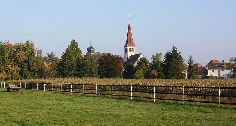
Photo: Immanuel Giel, CC BY-SA 3.0.
Eppstein is a suburb, which is situated 3½ km east of VCP Rheinland-Pfalz/Saar.
Birkenheide
Village

Photo: Immanuel Giel, Public domain.
Birkenheide is a municipality in the Rhein-Pfalz-Kreis, in Rhineland-Palatinate, Germany and is part of the Verbandsgemeinde Maxdorf. Birkenheide is situated 4 km southwest of VCP Rheinland-Pfalz/Saar.
VCP Rheinland-Pfalz/Saar
- Category: office
- Location: Lambsheim, Rhein-Pfalz-Kreis, Rhineland-Palatinate, Germany, Central Europe, Europe
- View on OpenStreetMap
Latitude
49.51342° or 49° 30′ 48″ northLongitude
8.28566° or 8° 17′ 8″ eastOperator
Stiftung VCP Rheinland-Pfalz/SaarOpen location code
8FXCG77P+97OpenStreetMap ID
node 13009660772OpenStreetMap feature
office=foundation
This page is based on OpenStreetMap, Wikidata, and Wikimedia Commons.
We’d love your help improving our open data sources. Thank you for contributing.
Satellite Map
Discover VCP Rheinland-Pfalz/Saar from above in high-definition satellite imagery.
Notable Places Nearby
Highlights include Protestantisches Gemeindehaus and St. Stephanus.
Nearby Places
Explore places such as Lambsheim informiert and Lambsheim, Kirche.
Rhineland-Palatinate: Must-Visit Destinations
Delve into Mainz, Trier, Koblenz, and Worms.
Curious Places to Discover
Uncover intriguing places from every corner of the globe.
About Mapcarta. Data © OpenStreetMap contributors and available under the Open Database License". Text is available under the CC BY-SA 4.0 license, except for photos, directions, and the map. Photo: Traveler100, CC BY-SA 3.0.