Z.I. Rubano
Z.I. Rubano is a tram stop in Rubano, Padova, Veneto. Z.I. Rubano is situated nearby to the bowling alley Fun City Family, as well as near the police station Comando Stazione dei Carabinieri Sarmeola di Rubano.| Tap on a place to explore it |
Places of Interest Nearby
Highlights include Le Calandre and Parco Etnografico di Bosco di Rubano.
Le Calandre
Restaurant

Photo: City Foodsters, CC BY 2.0.
Le Calandre is a restaurant in the village of Sarmeola di Rubano 6 kilometres west of Padua, Italy. Le Calandre is situated 760 metres east of Z.I. Rubano.
Parco Etnografico di Bosco di Rubano
Park

Photo: Filippof, CC BY-SA 3.0.
Parco Etnografico di Bosco di Rubano is a park, which is situated 2 km northwest of Z.I. Rubano.
Esapolis
Museum

Photo: Syrio, CC BY-SA 4.0.
Esapolis is a museum, which is situated 4 km southeast of Z.I. Rubano.
Places in the Area
Nearby places include Rubano and Bosco.
Rubano
Town

Photo: Xaneitaly, CC BY-SA 4.0.
Rubano is a comune in the Province of Padua in the Italian region Veneto, located about 40 kilometres west of Venice and about 7 kilometres northwest of Padua.
Selvazzano Dentro
Town
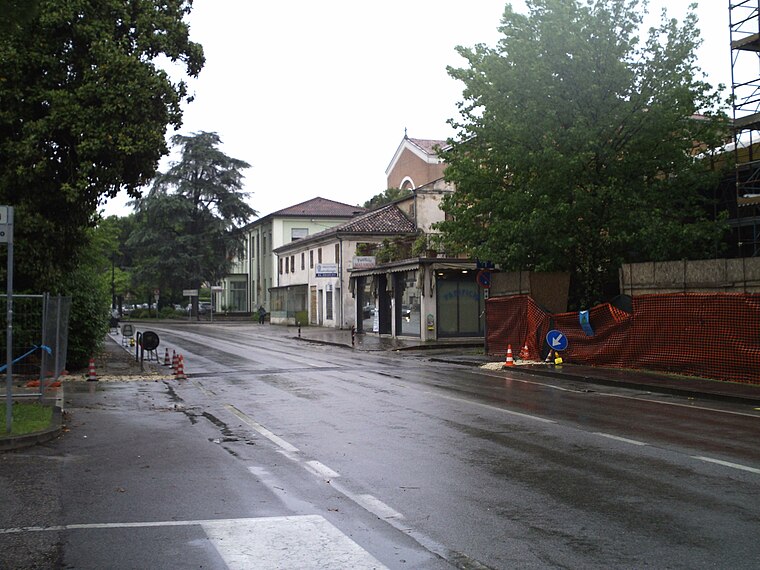
Photo: Vipera, Public domain.
Selvazzano Dentro is a comune in the province of Padua, Veneto, northeast Italy, located about 40 kilometres west of Venice and about 8 kilometres southwest of Padua. Selvazzano Dentro is situated 4 km south of Z.I. Rubano.
Z.I. Rubano
- Type: Tram stop
- Category: transportation
- Location: Rubano, Padova, Veneto, Northeast Italy, Italy, Europe
- View on OpenStreetMap
Latitude
45.42291° or 45° 25′ 23″ northLongitude
11.79996° or 11° 47′ 60″ eastOpen location code
8FQHCQFX+5XOpenStreetMap ID
node 13017491327OpenStreetMap feature
public_transport=platformOpenStreetMap feature
railway=tram_stop
This page is based on OpenStreetMap, Wikidata, and Wikimedia Commons.
We’d love your help improving our open data sources. Thank you for contributing.
Satellite Map
Discover Z.I. Rubano from above in high-definition satellite imagery.
Notable Places Nearby
Highlights include Fun City Family and Comando Stazione dei Carabinieri Sarmeola di Rubano.
Nearby Places
Explore places such as Z.I. Rubano and METRO.
Curious Tram Stops to Discover
Uncover intriguing tram stops from every corner of the globe.
About Mapcarta. Data © OpenStreetMap contributors and available under the Open Database License". Text is available under the CC BY-SA 4.0 license, except for photos, directions, and the map. Photo: Pmk58, CC BY-SA 4.0.