Kingsland Industrial Estate
Kingsland Industrial Estate is an electrical substation in Basingstoke and Deane, Hampshire, England. Kingsland Industrial Estate is situated nearby to the playground Playdays, as well as near The Church of Jesus Christ of Latter-day Saints.| Tap on a place to explore it |
Places of Interest Nearby
Highlights include Christ Church Chineham and The Mill Field, Hampshire.
Christ Church Chineham
Church

Photo: Euchiasmus, Public domain.
Christ Church Chineham is situated 2,800 feet northeast of Kingsland Industrial Estate.
The Mill Field, Hampshire
Nature reserve
The Mill Field is a 11.7-hectare Local Nature Reserve in Basingstoke in Hampshire. It is owned by Basingstoke and Deane Borough Council and managed by the Mill Field Conservation Group and Basingstoke and Deane Borough Council.
Places in the Area
Nearby places include Lychpit and Oakridge.
Lychpit
Suburb
Lychpit is a modern housing development adjacent to Old Basing near Basingstoke, Hampshire. The modern development started in the early 1980s but the area has an ancient past associated with that of Old Basing.
Oakridge
Suburb

Photo: Sebastian Ballard, CC BY-SA 2.0.
Oakridge was a village in Hampshire, England, immediately north of Basingstoke.
Old Basing
Village
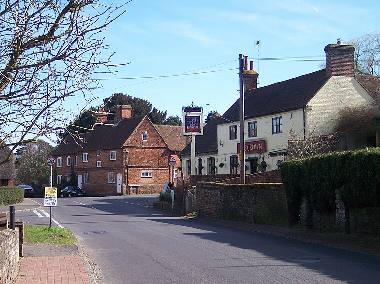
Photo: Wikimedia, Public domain.
Old Basing is a village in Hampshire, England, just east of Basingstoke. It was called Basengum in the Anglo-Saxon Chronicle and Basinges in the Domesday Book.
Kingsland Industrial Estate
- Type: Electrical substation
- Category: industry
- Location: Basingstoke and Deane, Hampshire, South East England, England, United Kingdom, Britain and Ireland, Europe
- View on OpenStreetMap
Latitude
51.28334° or 51° 17′ northLongitude
-1.06801° or 1° 4′ 5″ westOpen location code
9C3W7WMJ+8QOpenStreetMap ID
node 13028678439
This page is based on OpenStreetMap, Wikidata, and Wikimedia Commons.
We’d love your help improving our open data sources. Thank you for contributing.
Satellite Map
Discover Kingsland Industrial Estate from above in high-definition satellite imagery.
Notable Places Nearby
Highlights include Playdays and The Church of Jesus Christ of Latter-day Saints.
Nearby Places
Explore places such as Eat&Thrive Bistro and Kingsland Estate Office.
Hampshire: Must-Visit Destinations
Delve into Southampton, Portsmouth, Winchester, and Farnborough.
Curious Electrical Substations to Discover
Uncover intriguing electrical substations from every corner of the globe.
About Mapcarta. Data © OpenStreetMap contributors and available under the Open Database License". Text is available under the CC BY-SA 4.0 license, except for photos, directions, and the map. Photo: TomHab, CC BY-SA 3.0.