Paradero Va y Ven: C-30 x 35 Fracc. San Luis_3271
Paradero Va y Ven: C-30 x 35 Fracc. San Luis_3271 is a bus stop in Yucatán, Yucatán and the South. Paradero Va y Ven: C-30 x 35 Fracc. San Luis_3271 is situated nearby to the government building Dirección General del Colegio de Bachilleres del Estado de Yucatán (COBAY), as well as near the church Rectoría de San Antonio de Padua.| Tap on a place to explore it |
Places of Interest Nearby
Highlights include Parque La Plancha and Monumento a la Patria.
Parque La Plancha
Park

Photo: ProtoplasmaKid, CC BY-SA 4.0.
Parque La Plancha is a park, which is situated 1¼ km southwest of Paradero Va y Ven: C-30 x 35 Fracc. San Luis_3271.
Monumento a la Patria
Public building

Photo: Muñoz LC, CC BY-SA 4.0.
Monumento a la Patria is a public building, which is situated 2 km northwest of Paradero Va y Ven: C-30 x 35 Fracc. San Luis_3271.
Museo de la Canción Yucateca Asociación Civil
Museum
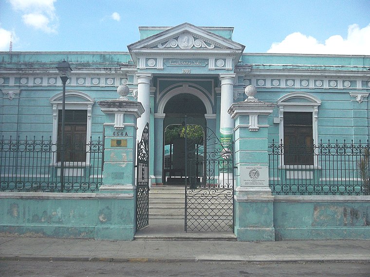 The Museo de la Canción Yucateca Asociación Civil is a museum located in the city of Mérida, Yucatán, Mexico. Founded in 1978, its mission is to rescue, preserve and promote the characteristic music and cultural background from the Yucatán Peninsula. Museo de la Canción Yucateca Asociación Civil is situated 2 km southwest of Paradero Va y Ven: C-30 x 35 Fracc. San Luis_3271.
Places in the Area
Nearby places include Mérida and Hacienda Chichí Suárez.
Mérida
 A short distance — yet seemingly a world away — from the rowdy, touristy beach resorts of Cancún and Cozumel that make up the Yucatán of cliché, Mérida is the cultural center of southern Mexico, boasting a panoply of excellent museums and attractions, a vibrant street life, and a wealth of historic colonial-era architecture that's second only to Mexico City on the national scene.
Hacienda Chichí Suárez
Village
 Hacienda Chichí Suárez is located in the Mérida Municipality in the state of Yucatán in southeastern Mexico. It is one of the properties that arose during the nineteenth century henequen boom. Hacienda Chichí Suárez is situated 5 km east of Paradero Va y Ven: C-30 x 35 Fracc. San Luis_3271.
Sodzil Norte
Quarter
 Sodzil Norte is a quarter, which is situated 7 km north of Paradero Va y Ven: C-30 x 35 Fracc. San Luis_3271.
Paradero Va y Ven: C-30 x 35 Fracc. San Luis_3271
- Type: Bus stop
- Category: transportation
- Location: Yucatán, Yucatán and the South, Mexico, North America
- View on OpenStreetMap
Latitude
20.98168° or 20° 58′ 54″ northLongitude
-89.60202° or 89° 36′ 7″ westOpen location code
76GGX9JX+M5OpenStreetMap ID
node 13030566037OpenStreetMap feature
highway=bus_stopOpenStreetMap feature
public_transport=platform
This page is based on OpenStreetMap, Wikidata, and Wikimedia Commons.
We’d love your help improving our open data sources. Thank you for contributing.
Satellite Map
Discover Paradero Va y Ven: C-30 x 35 Fracc. San Luis_3271 from above in high-definition satellite imagery.
Notable Places Nearby
Highlights include Dirección General del Colegio de Bachilleres del Estado de Yucatán (COBAY) and Rectoría de San Antonio de Padua.
Nearby Places
Explore places such as Multiservicios Guma and Tienda Manolin.
Yucatán: Must-Visit Destinations
Delve into Chichen Itza, Mérida, Uxmal, and Mayapan.
Curious Bus Stops to Discover
Uncover intriguing bus stops from every corner of the globe.
About Mapcarta. Data © OpenStreetMap contributors and available under the Open Database License". Text is available under the CC BY-SA 4.0 license, except for photos, directions, and the map. Photo: Wikimedia, CC0.