Bournvile
Bournvile is a suburb in Weston-super-Mare, North Somerset, England. Bournvile is situated nearby to the suburb Coronation, as well as near Whitecross Village.| Tap on a place to explore it |
Places of Interest
Highlights include Hans Price Academy and Weston-super-Mare railway station.
Hans Price Academy
School
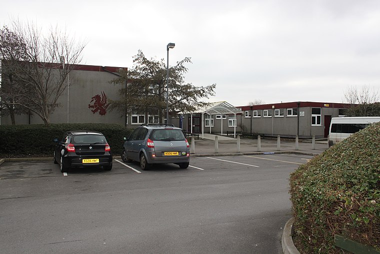 The Hans Price Academy, formerly known as Wyvern Community School, is a coeducational secondary school located on the Bournville estate in Weston-super-Mare, Somerset, England.
Weston-super-Mare railway station
Railway station

Photo: Thryduulf, CC BY-SA 4.0.
Weston-super-Mare railway station serves the seaside town of Weston-super-Mare in North Somerset, England. It is situated on a loop off the main Bristol to Taunton Line, 137 miles 33 chains from the zero point at London Paddington via Box.
Clarence Park
Park

Photo: Harrias, CC BY-SA 3.0.
Clarence Park was given to the town of Weston-super-Mare by Rebecca Davies in memory of her husband. The cricket pavilion at the park dates from 1882. A multitude of sports have been played at the park, including cricket.
Places in the Area
Nearby places include Uphill and Hutton.
Uphill
Village

Photo: Geof Sheppard, CC BY-SA 4.0.
Uphill is a village and former civil parish, now in the parish of Weston-super-Mare, in the North Somerset district, in the ceremonial county of Somerset, England, at the southern edge of the town, on the Bristol Channel coast.
Hutton
Village

Photo: Peter Barrington, CC BY-SA 2.0.
Hutton is a village and civil parish in Somerset, England. The parish, which has a population of 2,582, is within the unitary authority of North Somerset and located on the western edge of the Mendip Hills, close to Weston-super-Mare. Hutton is situated 1½ miles east of Bournvile.
Bleadon
Hamlet

Photo: Rodw, CC BY-SA 2.0.
Bleadon is a village and civil parish in Somerset, England. It is about 4 miles south of Weston-super-Mare and, according to the 2021 census, has a population of 1,149. Bleadon is situated 2 miles southeast of Bournvile.
Bournvile
- Type: Suburb
- Category: locality
- Location: Weston-super-Mare, North Somerset, England, United Kingdom, Britain and Ireland, Europe
- View on OpenStreetMap
Latitude
51.33245° or 51° 19′ 57″ northLongitude
-2.96503° or 2° 57′ 54″ westOpen location code
9C3V82JM+XXOpenStreetMap ID
node 13069771234OpenStreetMap feature
place=suburb
This page is based on OpenStreetMap, Wikidata, and Wikimedia Commons.
We’d love your help improving our open data sources. Thank you for contributing.
Satellite Map
Discover Bournvile from above in high-definition satellite imagery.
Localities in the Area
Explore places such as Coronation and Whitecross Village.
Notable Places Nearby
Highlights include Bourneville Chocolate Garden and For all Healthy Living Centre Library.
England: Must-Visit Destinations
Delve into London, Manchester, Sheffield, and Leeds.
Curious Suburbs to Discover
Uncover intriguing suburbs from every corner of the globe.
About Mapcarta. Data © OpenStreetMap contributors and available under the Open Database License". Text is available under the CC BY-SA 4.0 license, except for photos, directions, and the map. Photo: sidibousaid, CC BY 2.0.