Comune di Orta di Atella
Comune di Orta di Atella is a town hall in Orta di Atella, Province of Caserta, Campania which is located on Viale Francesco Petrarca. Comune di Orta di Atella is situated nearby to the town hall Municipio di Orta di Atella, as well as near the castle Palazzo San Massimo (Orta di Atella).| Tap on a place to explore it |
- Email: protocollo.ortadiatella@asmepec.it
- Type: Town hall
- Address: Viale Francesco Petrarca 3, Orta di Atella, 81030
Places of Interest Nearby
Highlights include Palazzo San Massimo (Orta di Atella) and Atella.
Palazzo San Massimo (Orta di Atella)
Castle
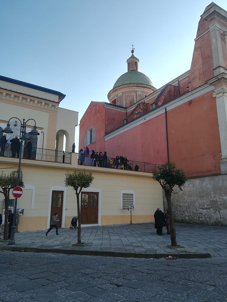
Photo: Domedp01, CC BY-SA 4.0.
Palazzo San Massimo (Orta di Atella) is a castle, which is situated 190 metres south of Comune di Orta di Atella.
Atella
Archaeological site
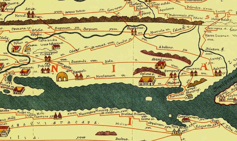
Photo: amadalvarez, Public domain.
Atella was an ancient Oscan city of Campania, located 20km directly north of Naples. Atella is situated 1 km southwest of Comune di Orta di Atella.
Frattamaggiore-Grumo Nevano train station
Railway station
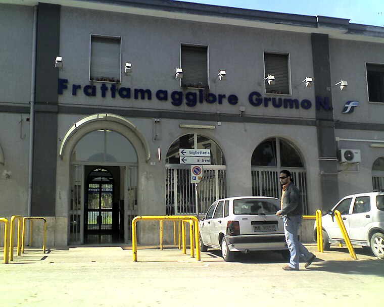
Photo: Umberto Basilica, Public domain.
Frattamaggiore-Grumo Nevano train station is a railway station, which is situated 3 km south of Comune di Orta di Atella.
Places in the Area
Nearby places include Frattaminore and Frattamaggiore.
Frattaminore
Town

Photo: Umberto Basilica, Public domain.
Frattaminore is a comune in the Metropolitan City of Naples, in the Italian region of Campania, located about 13 km north of Naples. Frattaminore borders the following municipalities: Crispano, Frattamaggiore, Orta di Atella, Sant'Arpino.
Frattamaggiore
Town
 Frattamaggiore is a comune in the Metropolitan City of Naples, Campania, Italy. It is located 15 km north of Naples and 15 km southwest of Caserta. It was awarded the title of "City of art" in 2008 and named Benedictine city in 1997. Frattamaggiore is situated 2½ km south of Comune di Orta di Atella.
Grumo Nevano
Town

Photo: Nicpac, CC BY-SA 3.0.
Grumo Nevano is a comune in the Metropolitan City of Naples in the Campania region of Italy, with 17,939 inhabitants. Grumo Nevano is situated 3 km south of Comune di Orta di Atella.
Comune di Orta di Atella
- Category: government building
- Location: Orta di Atella, Province of Caserta, Campania, Southern Italy, Italy, Europe
- View on OpenStreetMap
Latitude
40.96564° or 40° 57′ 56″ northLongitude
14.26836° or 14° 16′ 6″ eastOpen location code
8FGPX789+78OpenStreetMap ID
node 13071704786OpenStreetMap feature
amenity=townhall
This page is based on OpenStreetMap, Wikidata, and Wikimedia Commons.
We’d love your help improving our open data sources. Thank you for contributing.
Satellite Map
Discover Comune di Orta di Atella from above in high-definition satellite imagery.
Places with the Same Name
Discover other places named “Comune di Orta di Atella”.
Notable Places Nearby
Highlights include Municipio di Orta di Atella and Chiesa di San Massimo Vescovo.
Nearby Places
Explore places such as Intesa Bank and Scuola Media Massimo Stanzione.
Campania: Must-Visit Destinations
Delve into Naples, Vesuvius, Pompeii, and Salerno.
Curious Town Halls to Discover
Uncover intriguing town halls from every corner of the globe.
About Mapcarta. Data © OpenStreetMap contributors and available under the Open Database License". Text is available under the CC BY-SA 4.0 license, except for photos, directions, and the map. Photo: Wikimedia, CC0.