Church Street & 26th Street
Church Street & 26th Street is a railway station in San Francisco, Bay Area, California. Church Street & 26th Street is situated nearby to San Francisco Fire Station 11, as well as near the sports venue Purely Physical Fitness.| Tap on a place to explore it |
Places of Interest Nearby
Highlights include Church and 24th Street station and St. Paul’s Catholic Church.
Church and 24th Street station
Railway station

Photo: Pi.1415926535, CC BY-SA 3.0.
Church and 24th Street is a light rail stop on the Muni Metro J Church line, located in the Noe Valley neighborhood of San Francisco, California. The stop opened with the line on August 11, 1917. Church and 24th Street station is situated 1,200 feet north of Church Street & 26th Street.
St. Paul’s Catholic Church
Church

Photo: Chris06, CC BY-SA 4.0.
St. Paul's Catholic Church is an American Catholic parish church of the Archdiocese of San Francisco. The parish is located in the city of San Francisco, California, at 221 Valley Street and the corner of Church Street in the city's Noe Valley neighborhood. St. Paul’s Catholic Church is situated 1,600 feet south of Church Street & 26th Street.

Places in the Area
Nearby places include Noe Valley and Diamond Heights.
Noe Valley
Quarter
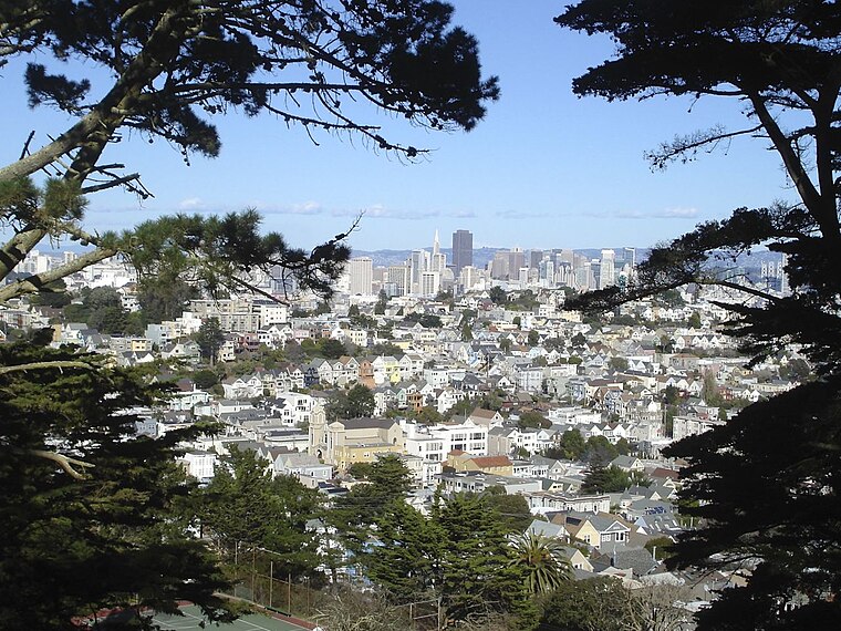
Photo: Yaman32, CC BY-SA 3.0.
Noe Valley is a neighborhood in central San Francisco, California. It is named for Don José de Jesús Noé, noted 19th-century Californio statesman and ranchero, who owned much of the area and served as mayor.
Diamond Heights
Neighborhood
Diamond Heights is a neighborhood in central San Francisco, California, roughly bordered by Diamond Heights Boulevard and Noe Valley to the north and east and Glen Canyon Park to the south and west.
Bernal Heights

Photo: Octoferret, CC BY-SA 2.5.
Bernal Heights, just south of the Mission District of San Francisco, is a cute, eclectic neighborhood that was once very working class, but is becoming quickly gentrified.
Church Street & 26th Street
- Type: Railway station
- Also known as: “26th Street & Church Street” and “Church & 26th Street”
- Categories: station and transportation
- Location: San Francisco, Bay Area, California, United States, North America
- View on OpenStreetMap
Latitude
37.74849° or 37° 44′ 55″ northLongitude
-122.42715° or 122° 25′ 38″ westOperator
San Francisco Municipal RailwayNetwork
MuniOpen location code
849VPHXF+94OpenStreetMap ID
node 13073127078OpenStreetMap feature
public_transport=stationOpenStreetMap feature
railway=station
This page is based on OpenStreetMap, Wikidata, and Wikimedia Commons.
We’d love your help improving our open data sources. Thank you for contributing.
Satellite Map
Discover Church Street & 26th Street from above in high-definition satellite imagery.
Notable Places Nearby
Highlights include San Francisco Fire Station 11 and Purely Physical Fitness.
Nearby Places
Explore places such as Church Street & 26th Street and Church Street & 26th Street.
San Francisco: Must-Visit Destinations
Delve into Golden Gate, Chinatown-North Beach, Civic Center-Tenderloin, and Fisherman’s Wharf.
Curious Railway Stations to Discover
Uncover intriguing railway stations from every corner of the globe.
About Mapcarta. Data © OpenStreetMap contributors and available under the Open Database License". Text is available under the CC BY-SA 4.0 license, except for photos, directions, and the map. Photo: Wikimedia, CC BY-SA 3.0.