Eccidio dell’Aeroporto
Eccidio dell’Aeroporto is a memorial in Forlì, Forlì-Cesena, Emilia-Romagna. Eccidio dell’Aeroporto is situated nearby to the church Chiesa di Santa Rita, as well as near the airport terminal Forlì Airport.| Tap on a place to explore it |
Places of Interest Nearby
Highlights include Forlì International Airport and Chiesa di San Giovanni Battista in Ronco.
Forlì International Airport
Aerodrome
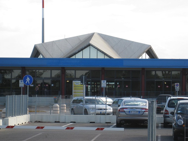
Photo: Perkele, Public domain.
Forlì International Airport, also known as Luigi Ridolfi Airport, is an airport in Forlì, a city in the Emilia-Romagna region of northern Italy. It serves Emilia-Romagna, eastern Tuscany, specifically the metropolitan Bologna and Rimini Riviera areas.
Chiesa di San Giovanni Battista in Ronco
Church

Photo: Perkele, Public domain.
Chiesa di San Giovanni Battista in Ronco is a church, which is situated 1 km east of Eccidio dell’Aeroporto.
San Giuseppe Artigiano (Forlì)
Church

Photo: StefaniaSavorani, CC BY-SA 4.0.
San Giuseppe Artigiano (Forlì) is a church, which is situated 1 km northwest of Eccidio dell’Aeroporto.
Places in the Area
Nearby places include Ronco and Fratta Terme.
Fratta Terme
Village

Photo: Controllore Fiscale, Public domain.
Fratta Terme is a village, which is situated 7 km south of Eccidio dell’Aeroporto.
Villagrappa
Suburb
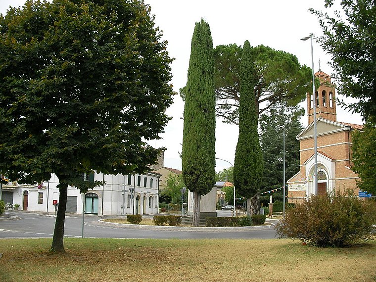
Photo: Controllore Fiscale, Public domain.
Villagrappa is a suburb, which is situated 8 km west of Eccidio dell’Aeroporto.
Eccidio dell’Aeroporto
- Type: Memorial
- Category: historic site
- Location: Forlì, Forlì-Cesena, Emilia-Romagna, Northeast Italy, Italy, Europe
- View on OpenStreetMap
Latitude
44.20191° or 44° 12′ 7″ northLongitude
12.0731° or 12° 4′ 23″ eastOpen location code
8FPJ632F+Q6OpenStreetMap ID
node 13083889108OpenStreetMap feature
historic=memorial
This page is based on OpenStreetMap, Wikidata, and Wikimedia Commons.
We’d love your help improving our open data sources. Thank you for contributing.
Satellite Map
Discover Eccidio dell’Aeroporto from above in high-definition satellite imagery.
Notable Places Nearby
Highlights include Chiesa di Santa Rita and Forlì Airport.
Nearby Places
Explore places such as Cippo ai Martiri del 29 giugno 1944 and Icaro.
Forlì-Cesena: Must-Visit Destinations
Delve into Cesena, Cesenatico, Mercato Saraceno, and San Mauro Mare.
Curious Memorials to Discover
Uncover intriguing memorials from every corner of the globe.
About Mapcarta. Data © OpenStreetMap contributors and available under the Open Database License". Text is available under the CC BY-SA 4.0 license, except for photos, directions, and the map. Photo: Lyisia, CC BY-SA 4.0.