Château du Prieuré
Château du Prieuré is in Conflans-Sainte-Honorine, Arrondissement of Saint-Germain-en-Laye, Île-de-France. Château du Prieuré is situated nearby to Canal transport museum, as well as near the church Église Saint-Maclou de Conflans-Sainte-Honorine.| Tap on a place to explore it |
Places of Interest Nearby
Highlights include Canal transport museum and Église Saint-Maclou de Conflans-Sainte-Honorine.

Église Saint-Maclou de Conflans-Sainte-Honorine
Church

Photo: Nitot, CC BY-SA 3.0.
Église Saint-Maclou de Conflans-Sainte-Honorine is a church.
Conflans-Sainte-Honorine station
Railway station

Photo: Geralix, CC BY-SA 3.0.
Conflans-Sainte-Honorine is a railway station in Conflans-Sainte-Honorine, a northwestern suburb of Paris, France. It is on the lines from Saint-Lazare to Pontoise and from Saint-Lazare to Mantes-la-Jolie via Meulan. Conflans-Sainte-Honorine station is situated 550 metres northeast of Château du Prieuré.
Places in the Area
Nearby places include Andrésy and Éragny-sur-Oise.
Andrésy
Town

Photo: Henrysalome, CC BY-SA 3.0.
Andrésy is a commune in the Yvelines department in north-central France. Andrésy is situated 3 km southwest of Château du Prieuré.
Éragny-sur-Oise
Town

Photo: Wikimedia, CC BY-SA 4.0.
Maisons-Laffitte is an affluent suburb northwest of Paris. It is famous for the Château de Maisons-Laffitte and its gardens which were turned into a residential Garden City during the 19th century. Éragny-sur-Oise is situated 3 km north of Château du Prieuré.
Achères
Town
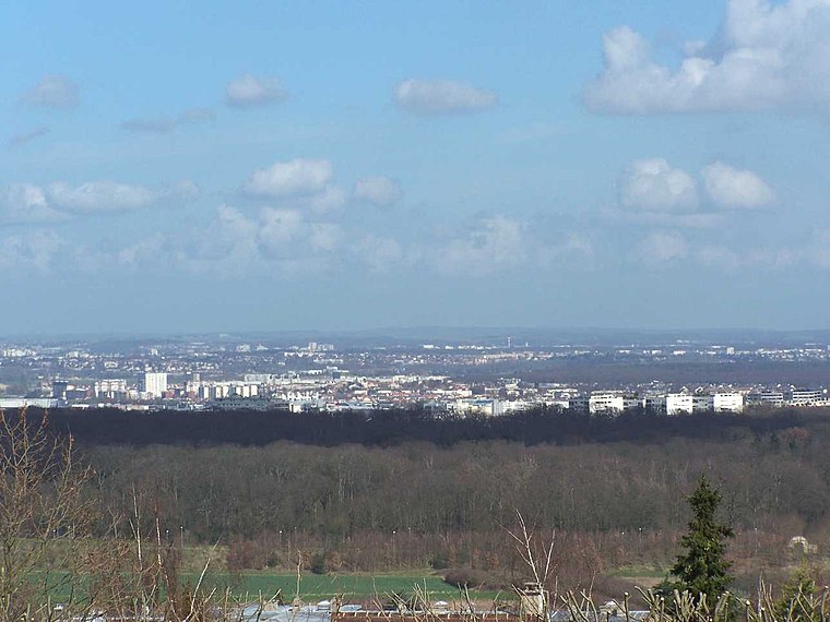
Photo: Henrysalome, CC BY-SA 3.0.
Achères is a commune in the Yvelines department in north-central France. It is located 23.7 km from the centre of Paris. The commune of Achères lies on the south bank of the Seine in a loop of the river, on the edge of the Forest of Saint-Germain-en-Laye. Achères is situated 4 km southwest of Château du Prieuré.
Château du Prieuré
- Type: Sign
- Categories: information and tourism
- Location: Conflans-Sainte-Honorine, Arrondissement of Saint-Germain-en-Laye, Yvelines, Île-de-France, France, Europe
- View on OpenStreetMap
Latitude
48.99245° or 48° 59′ 33″ northLongitude
2.09535° or 2° 5′ 43″ eastOpen location code
8FW4X3RW+X4OpenStreetMap ID
node 13097200411OpenStreetMap feature
tourism=information
This page is based on OpenStreetMap, Wikidata, and Wikimedia Commons.
We’d love your help improving our open data sources. Thank you for contributing.
Satellite Map
Discover Château du Prieuré from above in high-definition satellite imagery.
Places with the Same Name
Discover other places named “Château du Prieuré”.
Notable Places Nearby
Highlights include Les Terrasses and Place des Victimes de la Déportation.
Nearby Places
Explore places such as Place Jules Gevelot and Rue de la Procession / Rue aux Moines, Conflans-Sainte-Honorine.
Île-de-France: Must-Visit Destinations
Delve into Paris, Versailles, Boulogne-Billancourt, and Paris Charles de Gaulle Airport.
Curious Places to Discover
Uncover intriguing places from every corner of the globe.
About Mapcarta. Data © OpenStreetMap contributors and available under the Open Database License". Text is available under the CC BY-SA 4.0 license, except for photos, directions, and the map. Photo: Heric, CC BY-SA 3.0.