Cerro El Gato de Monte
Cerro El Gato de Monte is a peak in Morazán, Eastern El Salvador. Cerro El Gato de Monte is situated nearby to the hamlet La Joya, as well as near El Hormiguero.| Tap on a place to explore it |
Places in the Area
Nearby places include Meanguera and Segundo Montes.
Segundo Montes
Village
Segundo Montes is a community in Morazán Department, El Salvador, formed in 1990 by repatriated refugees who had fled the country's civil war. The community was named in memory of Segundo Montes, a Jesuit priest and scholar at the Universidad Centroamericana…
El Mozote
Village
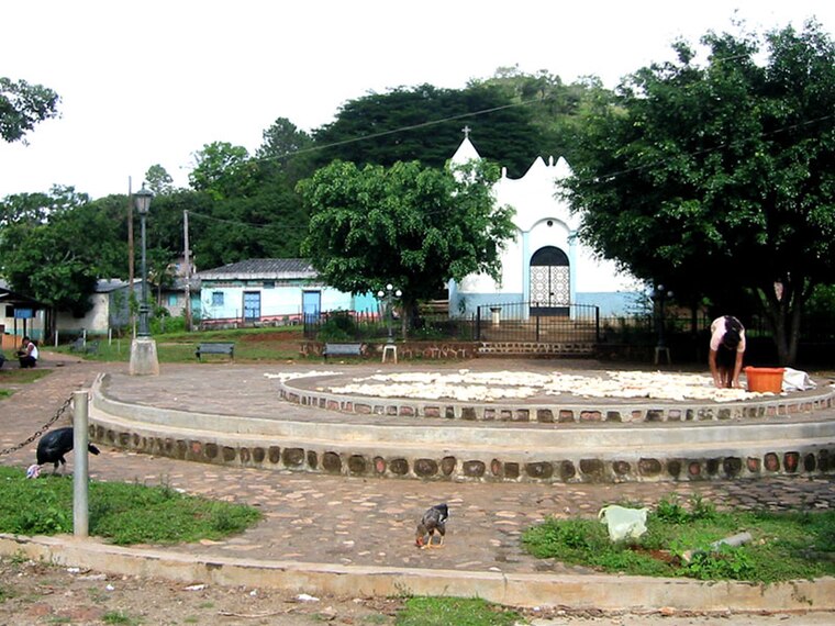
Photo: Efrojas, Public domain.
El Mozote is a village in the Morazán Department in El Salvador. It was the site of the El Mozote massacre during the civil war in December 1981 when nearly 1,000 civilians were killed by a Salvadoran Army unit known as the Atlácatl Battalion.
Cerro El Gato de Monte
- Type: Peak
- Category: landform
- Location: Morazán, Eastern El Salvador, El Salvador, Central America, North America
- View on OpenStreetMap
Latitude
13.8656° or 13° 51′ 56″ northLongitude
-88.121° or 88° 7′ 16″ westOpen location code
765HVV8H+7HOpenStreetMap ID
node 13122849216OpenStreetMap feature
natural=peak
This page is based on OpenStreetMap, Wikidata, and Wikimedia Commons.
We’d love your help improving our open data sources. Thank you for contributing.
Satellite Map
Discover Cerro El Gato de Monte from above in high-definition satellite imagery.
Localities in the Area
Explore places such as La Joya and El Hormiguero.
Notable Places Nearby
Highlights include Cerro La Ventana and Cerro Redondo.
Eastern El Salvador: Must-Visit Destinations
Delve into San Miguel, La Unión, San Francisco Gotera, and Berlín.
Curious Peaks to Discover
Uncover intriguing peaks from every corner of the globe.
About Mapcarta. Data © OpenStreetMap contributors and available under the Open Database License". Text is available under the CC BY-SA 4.0 license, except for photos, directions, and the map. Photo: Wikimedia, CC0.