Willerby Bottom
Willerby Bottom is a locality in Willerby, East Yorkshire, England. Willerby Bottom is situated nearby to the village Kirk Ella, as well as near West Ella.| Tap on a place to explore it |
Places of Interest
Highlights include Papa’s Fish and Chips and Hull Reform Synagogue.
Papa’s Fish and Chips
Restaurant
Papa's is the oldest running family-owned group of fish and chip shops. Papas was founded in 1966, by Mr Papas. In 2015, the family opened their largest restaurant to date, a 320-seat restaurant and takeaway, which was the world's biggest fish and chip shop, in Willerby in the East Riding of Yorkshire.
Hull Reform Synagogue
Synagogue

Photo: Jonathan Thacker, CC BY-SA 2.0.
The Hull Reform Synagogue, also known as Ne've Shalom, is a Reform Jewish community and synagogue, based in Willerby near Kingston upon Hull in the East Riding of Yorkshire, England, in the United Kingdom.
Wolfreton School
School

Photo: Paul Glazzard, CC BY-SA 2.0.
Wolfreton School & Sixth Form College is a coeducational secondary school and sixth form located in Willerby, East Riding of Yorkshire, England. During Ofsted's school inspection in October 2021, Wolfreton School and Sixth Form received "Good" ratings in all inspect sections.
Places in the Area
Nearby places include Willerby and Kirk Ella.
Willerby
Village
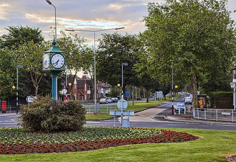
Photo: Paul Lakin, CC BY 3.0.
Willerby is a village and civil parish located on the western outskirts of the city of Kingston upon Hull in the East Riding of Yorkshire, England. Willerby was a minor settlement up to the 20th century, during which it became a suburb of Kingston upon Hull, and its urban development extended south-eastwards towards Hull.
Kirk Ella
Village

Photo: Paul Harrop, CC BY-SA 2.0.
Kirk Ella is a village and civil parish in the East Riding of Yorkshire, England. The parish includes the village of West Ella. The village is situated 5 miles west of Hull.
West Ella
Village

Photo: Stephen Horncastle, CC BY-SA 2.0.
West Ella is a village in the civil parish of Kirk Ella, in the East Riding of Yorkshire, England, on the eastern edge of the Yorkshire Wolds. It is 6 miles west of the city of Hull.
Willerby Bottom
- Type: Locality
- Location: Willerby, East Yorkshire, Yorkshire, England, United Kingdom, Britain and Ireland, Europe
- View on OpenStreetMap
Latitude
53.76188° or 53° 45′ 43″ northLongitude
-0.46597° or 0° 27′ 58″ westOpen location code
9C5XQG6M+QJOpenStreetMap ID
node 13142484248OpenStreetMap feature
place=locality
This page is based on OpenStreetMap, Wikidata, and Wikimedia Commons.
We’d love your help improving our open data sources. Thank you for contributing.
Satellite Map
Discover Willerby Bottom from above in high-definition satellite imagery.
Localities in the Area
Explore places such as Eppleworth and North Ella.
Notable Places Nearby
Highlights include Hull Golf Club and Long Drive Wood.
East Yorkshire: Must-Visit Destinations
Delve into Kingston upon Hull, Beverley, Bridlington, and Hornsea.
Curious Localities to Discover
Uncover intriguing localities from every corner of the globe.
About Mapcarta. Data © OpenStreetMap contributors and available under the Open Database License". Text is available under the CC BY-SA 4.0 license, except for photos, directions, and the map. Photo: AlasdairW, CC BY-SA 3.0.