Barbara Roae
Barbara Roae is a social service facility in Ruddington, Rushcliffe, England which is located on Musters Road. Barbara Roae is situated nearby to Ruddington Baptist Church, as well as near the forest Gibbies Wood.| Tap on a place to explore it |
Places of Interest Nearby
Highlights include Ruddington Library and St Peter’s Church, Ruddington.
Ruddington Library
Library

Photo: Alan Murray-Rust, CC BY-SA 2.0.
Ruddington Library is situated 1,100 feet northeast of Barbara Roae.
St Peter’s Church, Ruddington
Church

Photo: David Lally, CC BY-SA 2.0.
St. Peter's Church is a Church of England church in Ruddington, Nottinghamshire. St Peter’s Church, Ruddington is situated 1,500 feet north of Barbara Roae.
Rushcliffe Country Park
Park
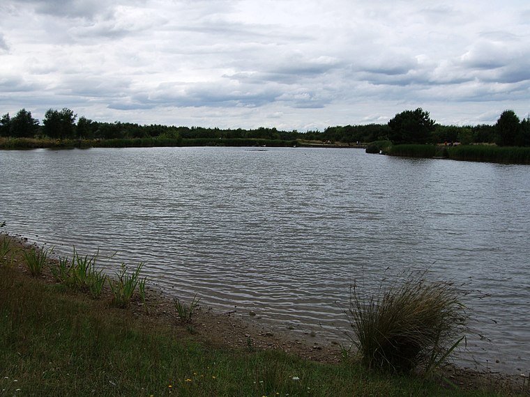
Photo: Ruddred0, CC BY-SA 3.0.
Rushcliffe Country Park is an open park space covering approximately 210 acres, located on Mere Way just south of Ruddington in the borough of Rushcliffe, Nottinghamshire, England.
Places in the Area
Nearby places include Ruddington and Bradmore.
Ruddington
Village
Ruddington is a large village in the Borough of Rushcliffe in Nottinghamshire, England. The village is 5 miles south of Nottingham and 11 miles northwest of Loughborough.
Bradmore
Village

Photo: Rpriv2000, CC BY-SA 3.0.
Bradmore is a village and civil parish in the Rushcliffe district of Nottinghamshire with a population in 2001 of 320, rising slightly to 328 at the 2011 census and falling to 298 at the 2021 census.
Clifton
Suburb

Photo: Alan Murray-Rust, CC BY-SA 2.0.
Clifton is a district and historic manor in the city of Nottingham, in Nottinghamshire, England. As of the 2021 census, it had a population of 22,936. Clifton has two council wards in the City of Nottingham with a total population taken at the 2011 census of 26,835. Clifton is situated 1½ miles northwest of Barbara Roae.
Barbara Roae
- Type: Social service facility
- Address: 40 Musters Road, Ruddington, Nottingham, NG11 6HW
- Categories: house and building
- Location: Ruddington, Rushcliffe, Nottinghamshire, East Midlands, England, United Kingdom, Britain and Ireland, Europe
- View on OpenStreetMap
Latitude
52.88892° or 52° 53′ 20″ northLongitude
-1.15303° or 1° 9′ 11″ westOpen location code
9C4WVRQW+HQOpenStreetMap ID
node 13143899797OpenStreetMap feature
amenity=social_facilityOpenStreetMap feature
building=house
This page is based on OpenStreetMap, Wikidata, and Wikimedia Commons.
We’d love your help improving our open data sources. Thank you for contributing.
Satellite Map
Discover Barbara Roae from above in high-definition satellite imagery.
Notable Places Nearby
Highlights include Ruddington Baptist Church and Gibbies Wood.
Nearby Places
Explore places such as Musters Road and Hareham Gardens.
Nottinghamshire: Must-Visit Destinations
Delve into Nottingham, Mansfield, Newark-on-Trent, and Worksop.
Curious Social Service Facilities to Discover
Uncover intriguing social service facilities from every corner of the globe.
About Mapcarta. Data © OpenStreetMap contributors and available under the Open Database License". Text is available under the CC BY-SA 4.0 license, except for photos, directions, and the map. Photo: Wikimedia, CC0.