Tacosmash
Tacosmash is a fast food restaurant in Tower Hamlets, Greater London, England which is located on Mile End Road. Tacosmash is situated nearby to the railway station Mile End, as well as near the Hindu temple Hindu Pragati Sangha Mandir.| Tap on a place to explore it |
- Type: Fast food restaurant
- Also known as: “Pink Lemonade”
- Address: 568 Mile End Road, London, E3 4PH
Places of Interest Nearby
Highlights include Mile End tube station and The Guardian Angels Church, Mile End.
Mile End tube station
Metro station

Photo: Sunil060902, CC BY-SA 3.0.
Mile End is a London Underground station in Mile End, London. It is located in Travelcard Zone 2 and is served by three lines: Central, District and Hammersmith & City.
The Guardian Angels Church, Mile End
Church

Photo: Ethan Doyle White, CC BY-SA 4.0.
The Guardian Angels Church is a Roman Catholic church at 377 Mile End Road in Mile End, east London. Designed by Frederick Arthur Walters, it was opened in 1903 and paid for by Henry Fitzalan-Howard, 15th Duke of Norfolk as a memorial to his youngest sister, Lady Margaret Howard, who had performed charitable work in the East End. The Guardian Angels Church, Mile End is situated 480 feet west of Tacosmash.
London Stadium
Stadium

Photo: Arne mueseler, CC BY-SA 3.0 de.
London Stadium is a multi-purpose outdoor stadium at Queen Elizabeth Olympic Park in the Stratford district of London. It is located in the Lower Lea Valley, 6 miles east of central London. London Stadium is situated 1¼ miles northeast of Tacosmash.
Places in the Area
Nearby places include Mile End and East London.
Mile End
Suburb
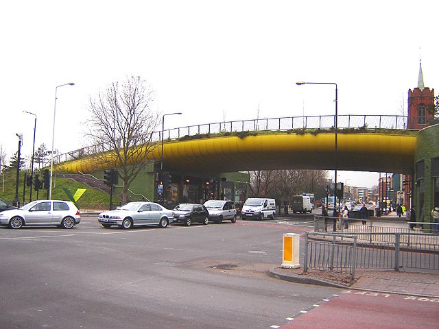
Photo: Tarquin Binary, CC BY-SA 2.5.
Mile End is an area in London, England and is located in the London Borough of Tower Hamlets. It is in East London and part of the East End. It is 4.2 miles east of Charing Cross.
East London

Photo: Roel Hemkes, CC BY 2.0.
East London is the part of London, England, east of the ancient City of London and north of the River Thames as it begins to widen. East London developed as London's docklands and the primary industrial centre.
Suttons Wharf
Neighborhood
Suttons Wharf is a mixed-use development in Bethnal Green, east London. It was historically a wharf on the Regent's Canal, south of the Cranbrook Estate and Roman Road.
Tacosmash
- Categories: food and restaurant
- Location: Tower Hamlets, Greater London, England, United Kingdom, Britain and Ireland, Europe
- View on OpenStreetMap
Latitude
51.52503° or 51° 31′ 30″ northLongitude
-0.0341° or 0° 2′ 3″ westOpen location code
9C3XGXG8+29OpenStreetMap ID
node 13191221855OpenStreetMap feature
amenity=fast_food
This page is based on OpenStreetMap, Wikidata, and Wikimedia Commons.
We’d love your help improving our open data sources. Thank you for contributing.
Satellite Map
Discover Tacosmash from above in high-definition satellite imagery.
Notable Places Nearby
Highlights include Mile End and Hindu Pragati Sangha Mandir.
Nearby Places
Explore places such as Food Sale Express Ltd and Fix Tech.
England: Must-Visit Destinations
Delve into London, Manchester, Sheffield, and Leeds.
Curious Fast Food Restaurants to Discover
Uncover intriguing fast food restaurants from every corner of the globe.
About Mapcarta. Data © OpenStreetMap contributors and available under the Open Database License". Text is available under the CC BY-SA 4.0 license, except for photos, directions, and the map. Photo: sidibousaid, CC BY 2.0.