Džutas iela
Džutas iela is a tram stop in Riga, Riga region. Džutas iela is situated nearby to the marketplace Čiekurkalna tirgus, as well as near the fire station VUGD RRP 6. daļa.| Tap on a place to explore it |
Places of Interest Nearby
Highlights include Zemitāna Square and Čiekurkalns.
Zemitāna Square
Park

Photo: ScAvenger, CC BY-SA 3.0.
Zemitāna Square is a park, which is situated 330 metres southeast of Džutas iela.
Čiekurkalns
Railway station

Photo: Wikimedia, CC BY-SA 3.0.
Čiekurkalns is a railway station, which is situated 1 km west of Džutas iela.
Rīgas Čiekurkalna pamatskola
School

Photo: Olgerts V, CC BY-SA 4.0.
Rīgas Čiekurkalna pamatskola is a school, which is situated 400 metres northwest of Džutas iela.
Places in the Area
Nearby places include Teika and Čiekurkalns.
Teika
Suburb

Photo: Anonīms, CC BY-SA 2.5.
Teika is a neighbourhood in the Vidzeme Suburb of Riga, the capital of Latvia. Teika is the only neighbourhood in Riga which was planned and partly built in the 1920s and 1930s during interwar Latvia.
Čiekurkalns
Suburb

Photo: Сергей Алексеев, CC BY 3.0.
Čiekurkalns is a neighbourhood of the Northern District of Riga, the capital of Latvia. It is located on the southwestern shore of Lake Ķīšezers. In April 2014, the new building of the State Revenue Service of Latvia was unveiled at Talejas iela 1 in Čiekurkalns.
Purvciems
Suburb
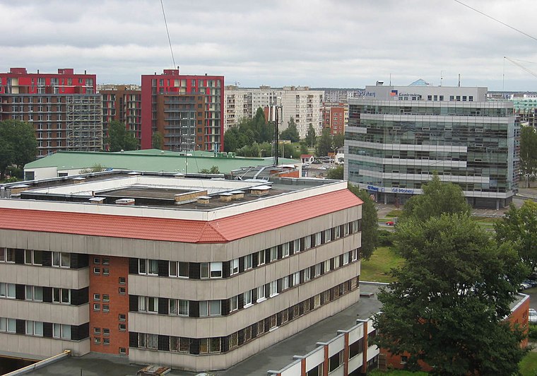
Photo: Levg79, Public domain.
Purvciems is a neighbourhood in the Vidzeme Suburb of Riga, Latvia. Its name literally translates as "marsh village". It is located on the east bank of the River Daugava, to the east of the City Centre and is defined roughly as the area between A. Purvciems is situated 2½ km south of Džutas iela.
Džutas iela
- Type: Tram stop
- Categories: railway stop, transport stop, and transportation
- Location: Riga, Riga region, Latvia, Baltic states, Europe
- View on OpenStreetMap
Latitude
56.98095° or 56° 58′ 51″ northLongitude
24.18243° or 24° 10′ 57″ eastOpen location code
9G86X5JJ+9XOpenStreetMap ID
node 13230350033OpenStreetMap feature
public_transport=stop_positionOpenStreetMap feature
railway=tram_stop
This page is based on OpenStreetMap, Wikidata, and Wikimedia Commons.
We’d love your help improving our open data sources. Thank you for contributing.
Satellite Map
Discover Džutas iela from above in high-definition satellite imagery.
Places with the Same Name
Discover other places named “Džutas iela”.
Notable Places Nearby
Highlights include Čiekurkalna tirgus and VUGD RRP 6. daļa.
Nearby Places
Explore places such as Forevers and Twinauto.
Riga: Must-Visit Destinations
Delve into Vecrīga, Centrs, Outer East Bank, and Pārdaugava.
Curious Tram Stops to Discover
Uncover intriguing tram stops from every corner of the globe.
About Mapcarta. Data © OpenStreetMap contributors and available under the Open Database License". Text is available under the CC BY-SA 4.0 license, except for photos, directions, and the map. Photo: Poco a poco, CC BY-SA 3.0.