Deer Park Lodge
Deer Park Lodge is a ruins in Los Angeles, Southern California, California. Deer Park Lodge is situated nearby to the mountain saddle White Saddle, as well as near the nature reserve Monrovia Open Space.| Tap on a place to explore it |
Places of Interest Nearby
Highlights include Monrovia Peak.
Monrovia Peak
Peak
Monrovia Peak is a 5,412-foot-elevation mountain summit located in the San Gabriel Mountains, in Los Angeles County, California, United States.
Places in the Area
Nearby places include Bradbury and Monrovia.
Bradbury
Village
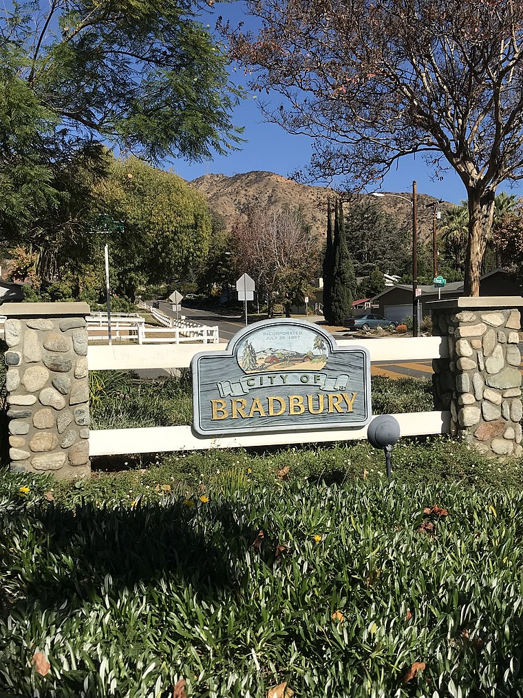
Photo: Fruitianslip, CC BY-SA 4.0.
Bradbury is a city in the San Gabriel Valley region of Los Angeles County, California, United States. It is located in the foothills of the San Gabriel Mountains below Angeles National Forest. Bradbury is situated 3½ miles south of Deer Park Lodge.
Monrovia
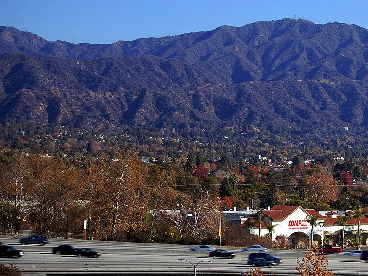
Photo: Wikimedia, CC BY-SA 3.0.
Monrovia is a city in the foothills of the San Gabriel Mountains in the San Gabriel Valley of Los Angeles County, California, United States. Monrovia is the fourth-oldest general-law city in Los Angeles County and the L.A. Basin.
Duarte
Town
Photo: Platinummedia, CC BY-SA 4.0.
Duarte is a city in Los Angeles County, California, United States. As of the 2020 census, the city population was 21,727. Duarte is located on historic U.S. Route 66, which today follows Huntington Drive through the middle of the city. Duarte is situated 4 miles south of Deer Park Lodge.
Deer Park Lodge
- Type: Ruins
- Inscription: “Ben Overturff leased Deer Park in 1907...built a wooden lodge...in 1911 a stone building from creek boulders...a popular resort in the 1920s...the 1938 flood ended it...the Overturffs used it until 1948...only stone foundations remained by 1958.”
- Category: historic site
- Location: Los Angeles, Southern California, California, United States, North America
- View on OpenStreetMap
Latitude
34.1941° or 34° 11′ 39″ northLongitude
-117.96568° or 117° 57′ 57″ westOpen location code
856452VM+JPOpenStreetMap ID
node 13231829825OpenStreetMap feature
historic=ruins
This page is based on OpenStreetMap, Wikidata, and Wikimedia Commons.
We’d love your help improving our open data sources. Thank you for contributing.
Satellite Map
Discover Deer Park Lodge from above in high-definition satellite imagery.
Places with the Same Name
Discover other places named “Deer Park Lodge”.
Notable Places Nearby
Highlights include White Saddle and Monrovia Open Space.
Nearby Places
Explore places such as Bathroom and Rifle Range.
Los Angeles: Must-Visit Destinations
Delve into Hollywood, San Gabriel Valley, San Fernando Valley, and Long Beach.
Curious Ruins to Discover
Uncover intriguing ruins from every corner of the globe.
About Mapcarta. Data © OpenStreetMap contributors and available under the Open Database License". Text is available under the CC BY-SA 4.0 license, except for photos, directions, and the map. Photo: Mfield, CC BY-SA 3.0.