L’Arlésienne
L’Arlésienne is a sports venue in Morainvilliers, Arrondissement of Saint-Germain-en-Laye, Île-de-France. L’Arlésienne is situated nearby to the community center Salle des Loisirs, as well as near Place de l’Église.| Tap on a place to explore it |
Places of Interest Nearby
Highlights include Église Saint-Léger de Morainvilliers and Romainville Château.
Église Saint-Léger de Morainvilliers
Church

Photo: Spedona, CC BY-SA 3.0.
Église Saint-Léger de Morainvilliers is a church, which is situated 110 metres northeast of L’Arlésienne.
Romainville Château
Castle

Photo: Châteauform‘, CC BY-SA 3.0.
Romainville Château is a castle, which is situated 1½ km northwest of L’Arlésienne.
Église Saint-Nicolas des Alluets-le-Roi
Church
 Église Saint-Nicolas des Alluets-le-Roi is a church, which is situated 2 km southwest of L’Arlésienne.
Places in the Area
Nearby places include Orgeval and Herbeville.
Orgeval
Village

Photo: Spedona, CC BY-SA 3.0.
Orgeval is a commune in the Yvelines department in the Île-de-France region in north-central France. It shares its name with the small river that runs through it, a tributary of the Seine. Its inhabitants are called the Orgevalais. Orgeval is situated 3 km southeast of L’Arlésienne.
Herbeville
Village
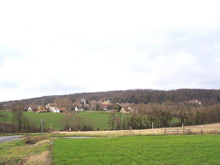
Photo: Henrysalome, CC BY-SA 3.0.
Herbeville is a commune in the Yvelines department in the Île-de-France region in north-central France. Herbeville is situated 4 km southwest of L’Arlésienne.
Sainte-Colombe
Hamlet

Photo: Wikimedia, Public domain.
Sainte-Colombe is a hamlet, which is situated 5 km west of L’Arlésienne.
L’Arlésienne
- Type: Sports venue
- Categories: recreation area and sports location
- Location: Morainvilliers, Arrondissement of Saint-Germain-en-Laye, Yvelines, Île-de-France, France, Europe
- View on OpenStreetMap
Latitude
48.92756° or 48° 55′ 39″ northLongitude
1.93455° or 1° 56′ 4″ eastOpen location code
8FW3WWHM+2ROpenStreetMap ID
node 13232326942OpenStreetMap feature
leisure=sports_centreOpenStreetMap feature
sport=multi
This page is based on OpenStreetMap, Wikidata, and Wikimedia Commons.
We’d love your help improving our open data sources. Thank you for contributing.
Satellite Map
Discover L’Arlésienne from above in high-definition satellite imagery.
Places with the Same Name
Discover other places named “L’Arlésienne”.
Notable Places Nearby
Highlights include Salle des Loisirs and Place de l’Église.
Nearby Places
Explore places such as Les Coloriés and Église.
Île-de-France: Must-Visit Destinations
Delve into Paris, Versailles, Boulogne-Billancourt, and Paris Charles de Gaulle Airport.
Curious Sports Venues to Discover
Uncover intriguing sports venues from every corner of the globe.
About Mapcarta. Data © OpenStreetMap contributors and available under the Open Database License". Text is available under the CC BY-SA 4.0 license, except for photos, directions, and the map. Photo: Inkey, CC BY-SA 3.0.